Just North of Summit County, in Sulphur Ranger District, lies the South Fork Trail Loop. The three sources I encountered say it’s a different distance. The maps state 23. The one review I found online put it at 26. The trail sign claims 27.
Despite two days of overcast and downpour, and a late start b/c someone’s bladder was leaking… BenJammin’ and I headed up Highway 9 and then East into the heart of Arapaho National Forest. Over Ute Pass, and past some large mill or mining business. Metal tubes stretched out for miles in several directions from the cavernous edifice. After accidentally trying to pull into their employee parking we found our way out to the back country, under a One Way tunnel and into Sugarloaf Campground.
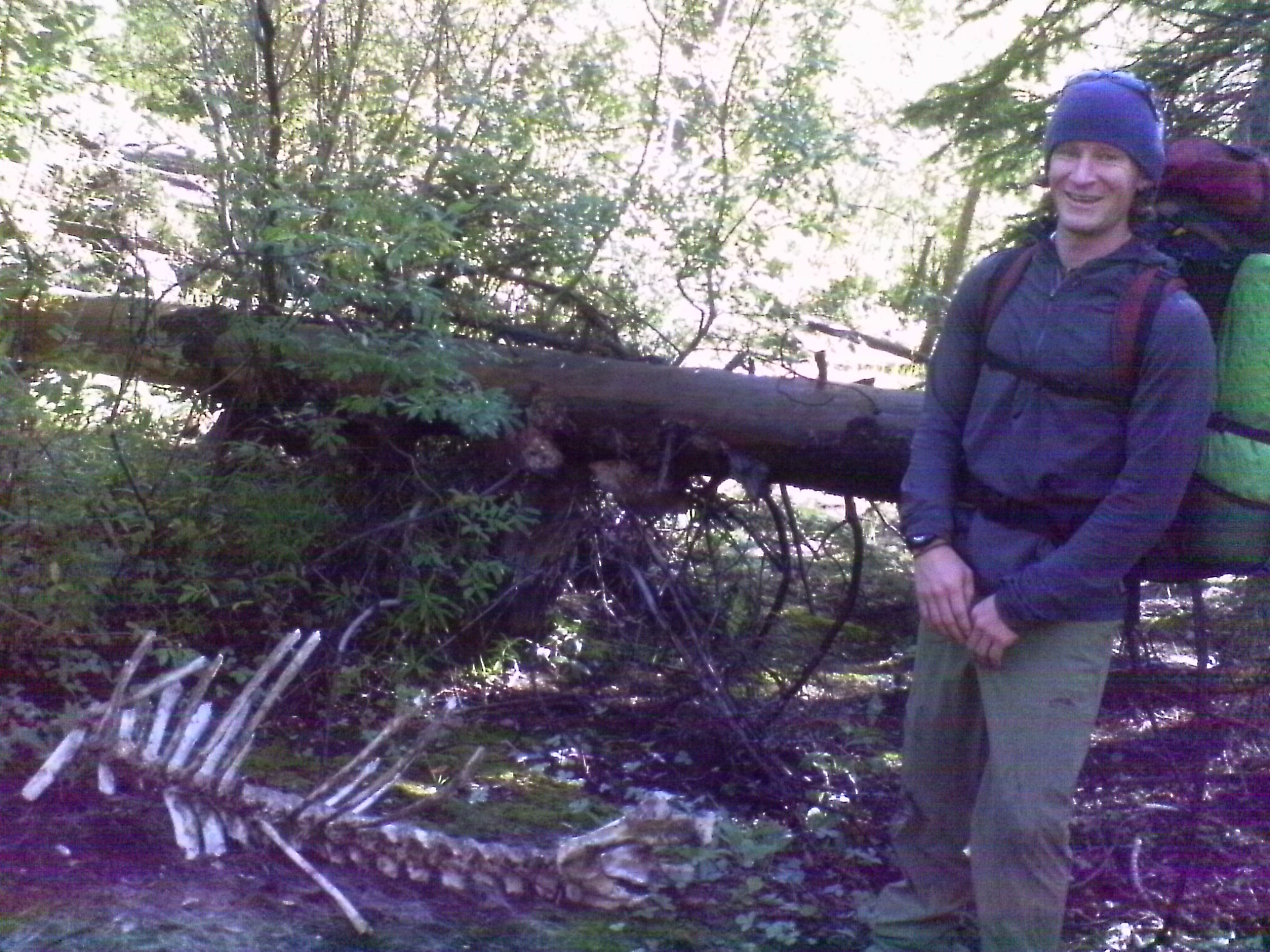
The maps and online review had promised we could access the trail from a handicap boardwalk at Sugarloaf Campground. A massive brown sign at the beginning of the boardwalk confirmed this. We were the only ones at the CG and, in all our ‘just starting out’ vigour, we paced the boardwalk several times, looking for the trail. Then we got creative about what is a ‘trail’ and ended up in the middle of a bog at what was probably a happenin’ kitty kill site. I wondered at the wisdom of encouraging wheelchair bound people out into such a remote and predator frequented area, particularly when sections of it are apparently prone to flooding and downed trees… Then I remembered, we hadn’t seen anyone out there…and was unsure what to make of that.
After 15 frustrating minutes we headed back to the car. Pulling out of Sugarloaf, there was a trail sign. FT 21. South Fork Loop Trail. 27 miles. Bam.
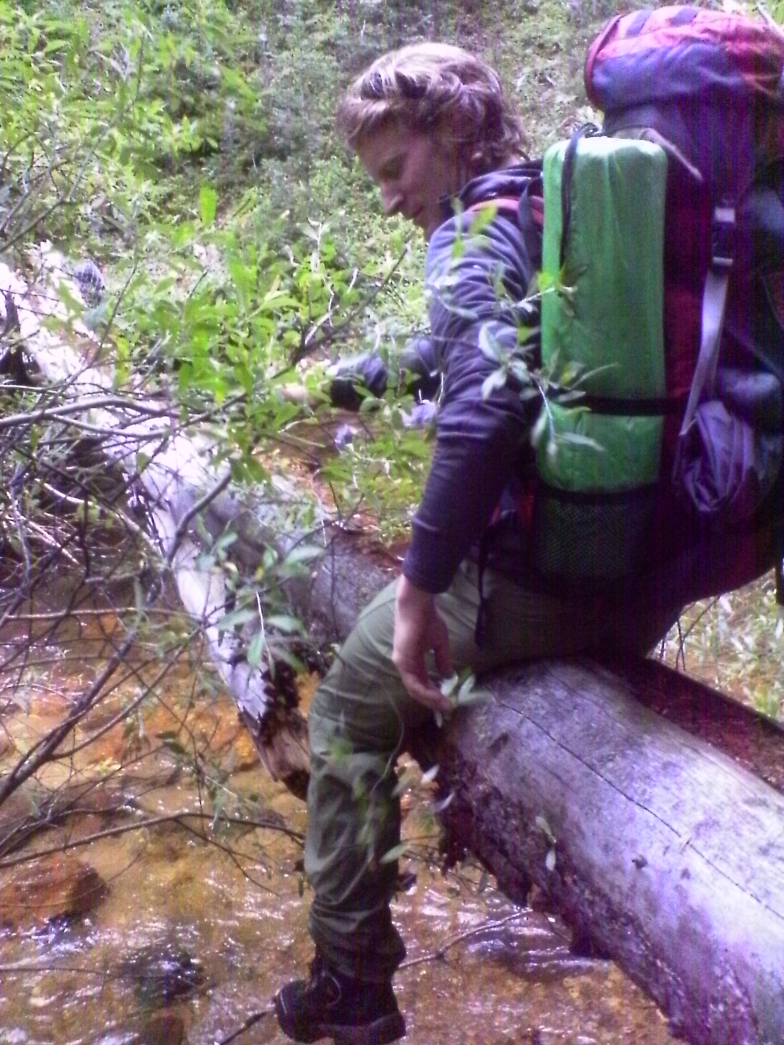
We took to the loop anti-clockwise (as we could not find the trail on the other side of the road…). Five minutes later skirting South Fork CG and following South Fork William’s Creek for a gradual, forested climb. The first formidable creek crossing boasted a bridge. One half of which had rotted out and fallen away, the other was rotted out and covered in slippery moss.
While BenJammin’ braved the bridge, I carefully calculated the shallowest spot to cross and proceeded to splash through the deep trench just below it. Great trip to have brought only one pair of socks. BRING MULTIPLE PAIRS.
Immediately hereafter we encountered the first show of the Trail’s disappearing act. Schlopping through mud pits, we found it again quickly and trucked right past where the South Fork Trail Head plays a popular entrance for cavalcades.
A few miles on, at a pretty spot under trees along the creek one such group was stopped for lunch. The horses stamped and nibbled on grass in the shade as human visitors, draped across downed logs and scattered along the pebbled beach, munched white bread sandwiches and gazed up the valley wall of Williams Fork Mountains, atop which runs the CDT.
To fund his winter giving spree, Santa has to work a summer job. This year he is leading cavalcades. I know this because he was plopped down in the middle of the trail in leather chaps and cowboy hat with a kerchief and fastener around his leathered neck and white beard. Instead of jumping into his lap and running down my Christmas list, I asked him about the mountains.
We pressed on and up, out of reach of the Aspen. Clouds began to gather and rumble ominously so we stopped and threw up BenJammin’s footprint as a makeshift cover. It was an ingenious revelation to me, sitting under it my mind reeled through all the times I had sat in a miserable downpour, eating soggy food, feeling bad for myself. We had it pretty taut by the time the sun came out 10 minutes later.
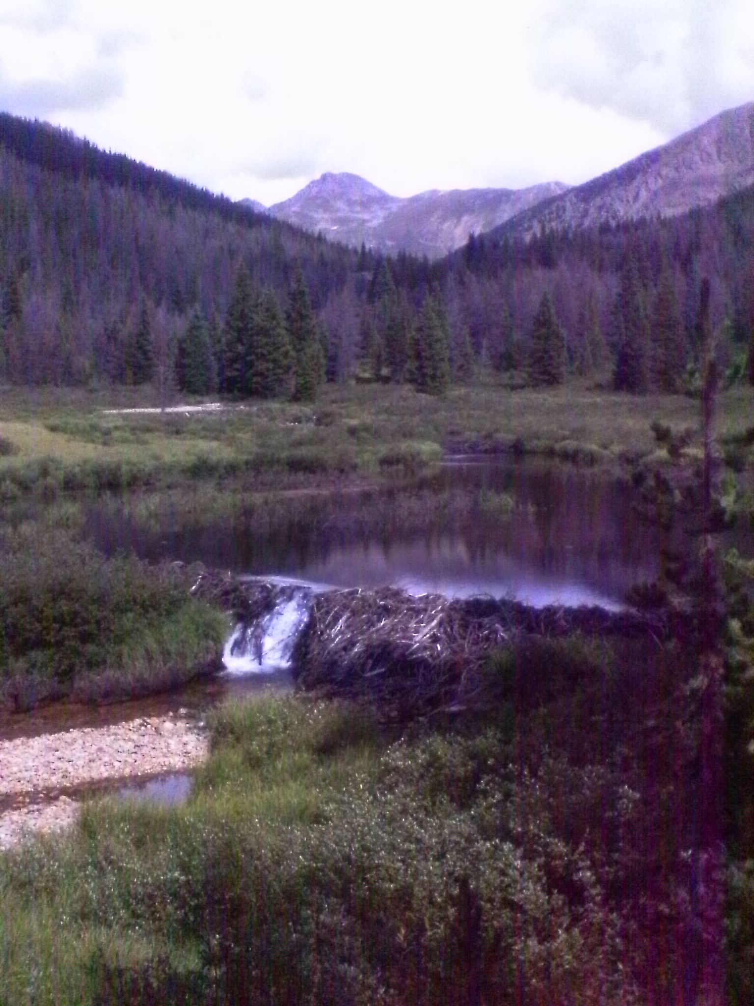
Up and past the access trail to Ptarmigan Peak, we came across another hiker. Salutations were exchanged then we asked where he was coming from.
“I’ve been out for 70 days,” the sun hat, dark glasses, long sleeved filthy dude responded. I was so excited I began spluttering. He was thru hiking the CDT! And, turns out, had been on the PCT last year! It was Huï, who I had met somewhere up in Oregon at a Trail Angel’s house. I don’t recall liking the fellow much at the time but was so excited to run into another of my kind that I hugged the stinky, bony man and skipped off.
Just past a semi-permanent tent (Built and left by the horse people for just such crappy weather) the trail began to ascend steeply through the trees. Here, again, Benjammin’ turned my hiking method up-side-down. Rather than hike as far as possible, collapse in defeat a few times then puke at the top, he stopped frequently. Every five minutes or so we would stop and catch our breath then move on. It was fantastic. Then thunder rumbled in earnest and we decided we must be, as we had been predicting for the last two miles, “just about to tree line.” Although it was only 4:30, the “next 3 miles” were an alpine ridge run and I was not enthusiastic about setting out on it in this weather, so we set up camp and watched the clouds bundle up on the trail ahead.
As the evening passed it was startling to discover we had made camp right next to where an ancient and well known dragon in this area had frequently flown. In the early 600 ADs, Old Chub, as the locals called him, often came up here to dodge over and around the many alpine bowls, chasing the echo of his rumbling roar, which was always slipping just over the next ridge. One early fall he had a Head Cold and blew a fiery snot rocket, which was burned into the ground near where we slept.
I dreamed of dragon shadows soaring across the moonlight bathed walls of the tent.





Comments (1)
Vivid description, made me feel like I was reaching timberline with you. That’s cool that you met another PCTer on the CDT.