Any long distance hiker will agree: one of the best things about hiking is not hiking. That moment when the pack slides off your shoulders and your legs hang loose.
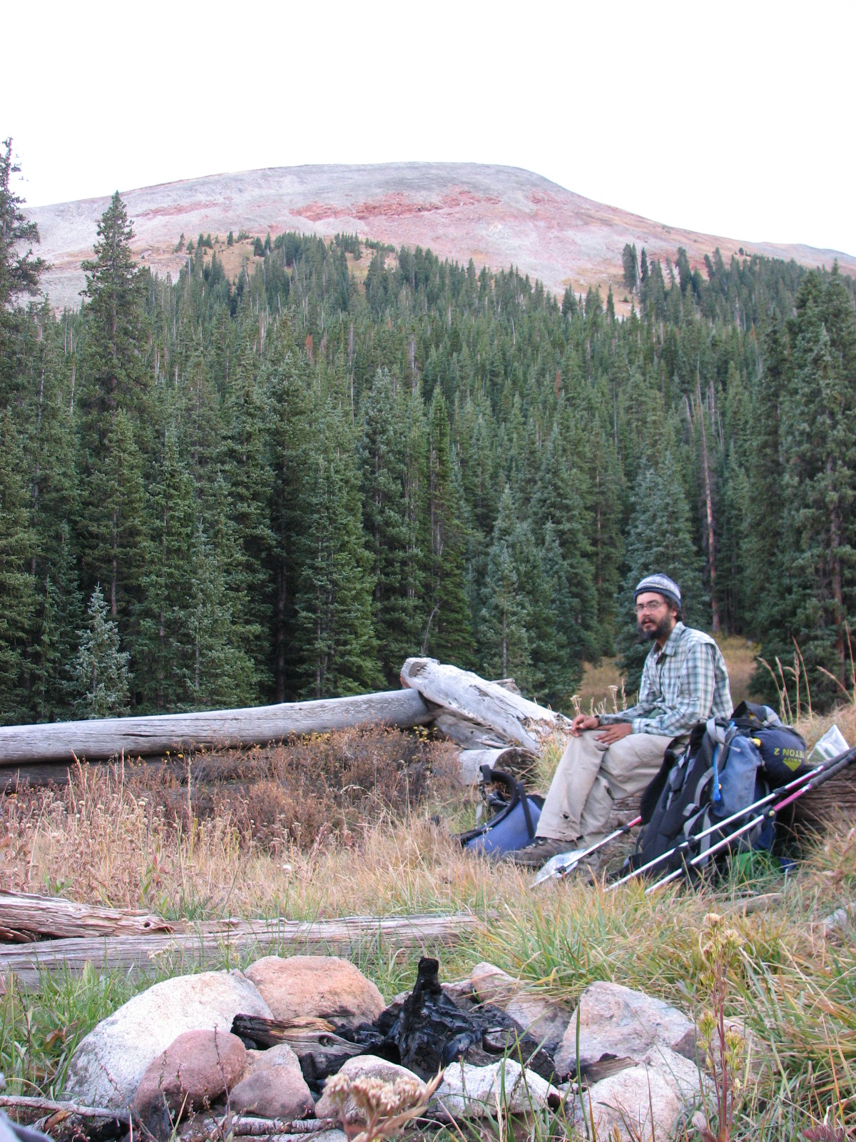 Slim (Shannon) and I caught an afternoon bus to Copper Mountain and began heading South on the Colorado Trail at 4 pm. We headed up toward Janet’s Cabin and I enjoyed playing tour guide, proud to introduce Slim to ridges, peaks, and local folklore.
As soon as the sun bowed out, temperatures dropped dramatically. In less than 5 minutes it went from “comfortable in a T-shirt” to “get hiking in a fleece.” We hustled to make camp and lagged in breaking it down the next morning. Frozen tent poles on bare hands are a less than pleasant way to start the day. To counteract the cold start, the trail proffered a climb to Searle Pass, followed quickly by Kokomo Pass (12022 ft). The trail was graded for mountain bike access, and loped through alpine clearings. From Kokomo Pass we practiced map skills, shooting bearings, triangulating, and battling the winds which come with such territory.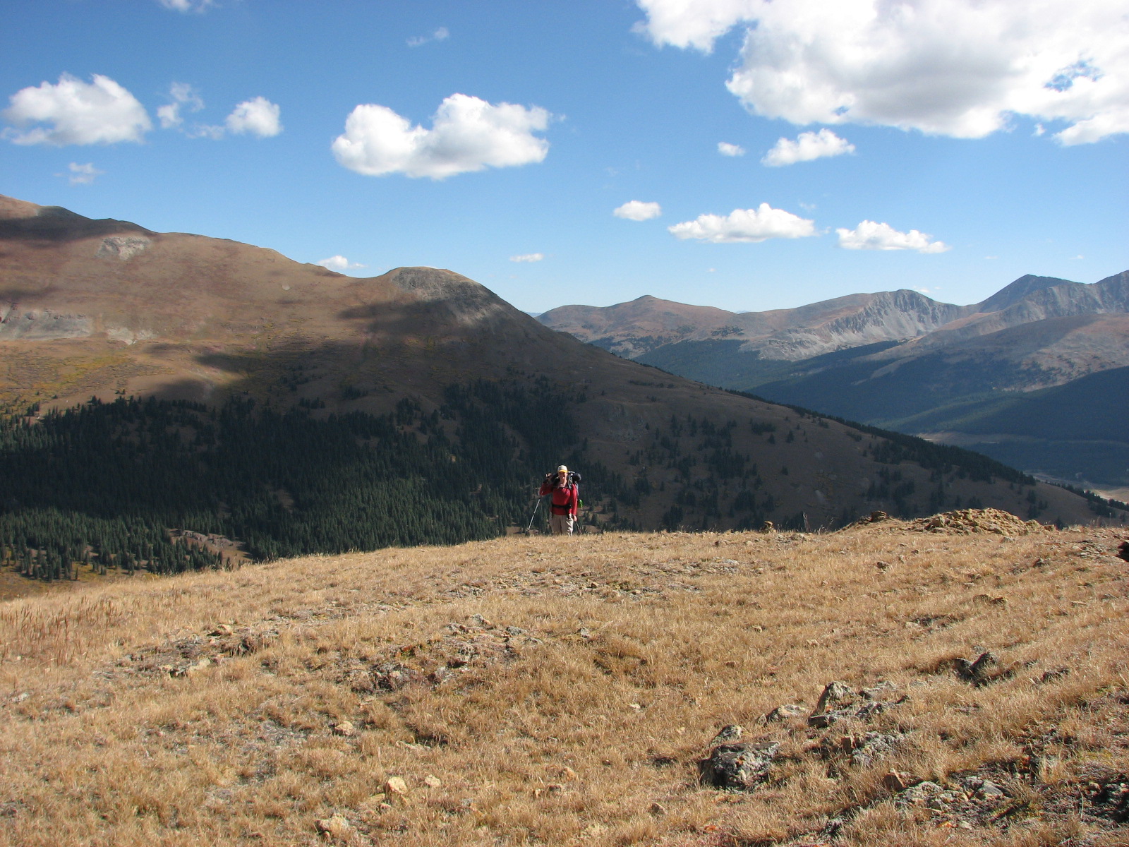
The descent along Cataract Creek was steep and rocky. We plunged into pine, which swayed and groaned in the breeze. Groves of yellowing Aspen became interspersed with the conifers; then took over completely. Most of the leaves held to their branches, rustling amoungst themselves, no doubt spreading news of those already dropped.
Emerging into the flats of Eagle Park, the muted might of rounded ridges and hills rose all around us, playing canvass to an Autumnal cacophony of color.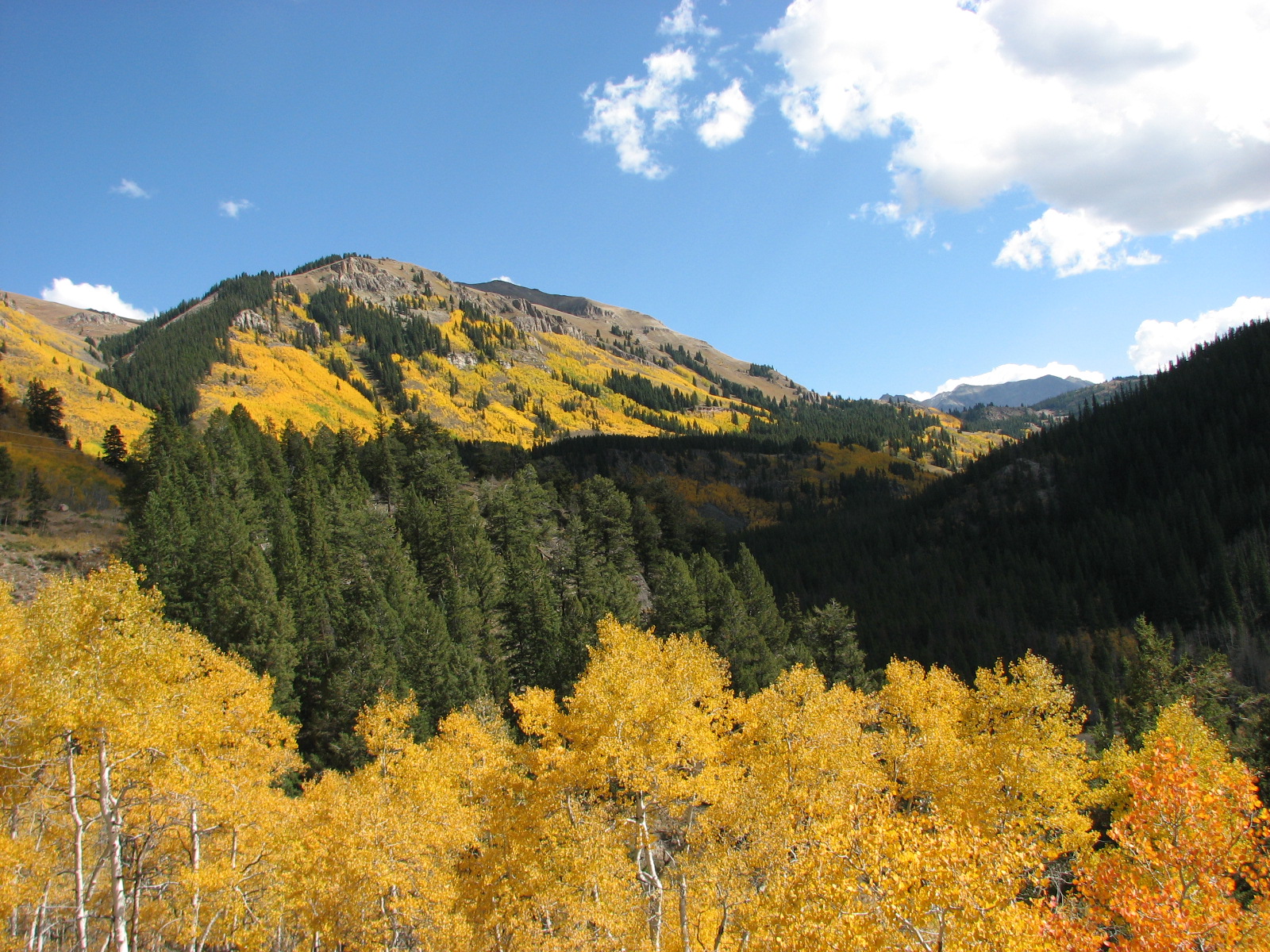 A mile West along the flats, a dyke rose out of the sage field. To occupy herself my Trail Brain began musing at what the man mad rise was meant to accomplish. Despite my imaginings, I was surprised to find the dirt was actually built up over a series of bunkers. Concrete face on one side, mound of earth over the top.
The graffiti scorned concrete, broken bottles and dank smell caught me so much by surprise I lost grip on here and now. It was the bombing bunker I stumbled across while exploring Oxford countryside. It was the defenses built along the Mallorcan coast. It was any and all in a series of spaces which slam life into stark sobriety.
Shiny SUVs rumbled up on the dirt roads, kicking up tails of dirt into the mid-day sun. Meticulous looking old men emerged and ambled reverently down the long row of abandoned alcoves. There was something about this place; I could not linger.
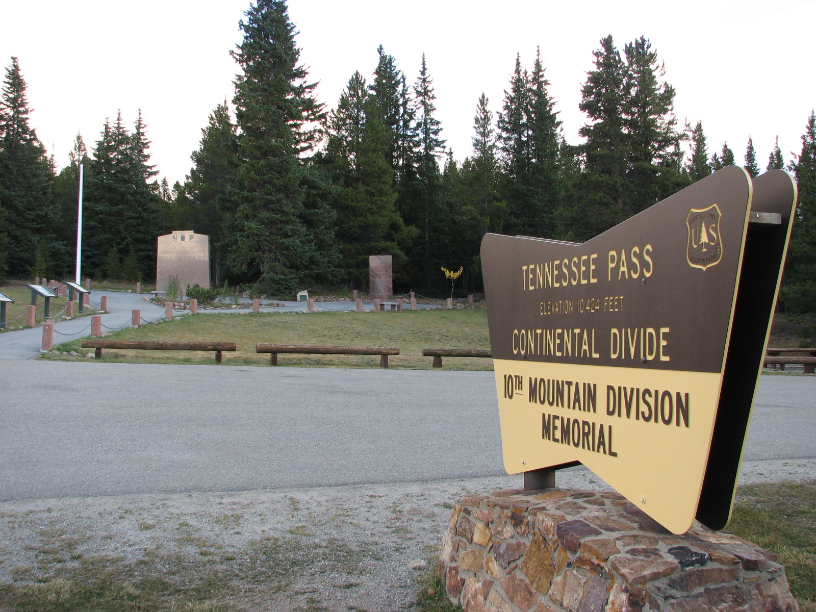 Up South Fork Eagle River, alongside the 10th Mtn Division Scenic Byway. If this road is not on your “roads to drive during fall” list, it ought to be. Upon gaining Tennessee Pass (10424 ft), and surviving the hiker death trap that is the blind 4 lane curve of Byway, we read placards which explained the 10th Division’s training history in this area. We removed our hats in reverence to the 990 lives lost in WWII, commemorated by the Memorial.
We hiked on a bit and camped a few hundred yards South of the Divide. That night, soldiers tromped through my dreams in heavy boots and harsh conditions.




Comments (1)
A nice read. Just dumped my pack again last night — great, as you say, but the urge to put it on again is almost instant. At least they have real coffee back here in civilisation, one reason at least to come back…