Haz clic aquÍ para leer en español
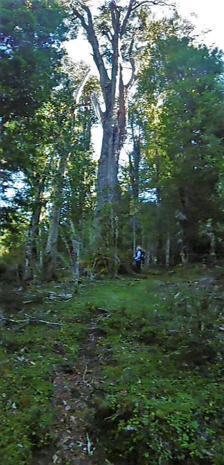
Setting out from Lago Verde, a faded roadside table map implied there was a route to Palena. The road petered out 15 km later, around the first settlers. Passing over several washouts, gashed and filled by rocks, it was impassible by vehicle but still easy to follow. The abandoned road all but disappeared just past the final homesteaders, where arable fields gave way to native forest.
It is March but we step outside of the context of time. In the primeval, deciduous forest, trees rear high above our heads. All variety and texture of mosses meld the trunks to the detritus and ground-cover.
A shelter of wilderness. As the trail faded in and out, stops to navigate became opportunities to be still and imbibe the experience. It was serene out there.
We began to see diamond markers on the tree, declaring this a ‘Ruta Patrimonial.’ Upon crossing a wide, strong flowing river, we presumably entered Lago Palena National Reserve; the trails became clearer and there was a nice, new bothy where we plunked down for lunch.
Park boundary areas present an interesting cross-section where rural life encounters park regulations. Stock animals don’t care much about the delineation, but the humans sure do. It is two fold; on the one hand, cattle will follow a trail that is already there, making faint ones more distinguishable. On the other hand, too many and they tear up a track.
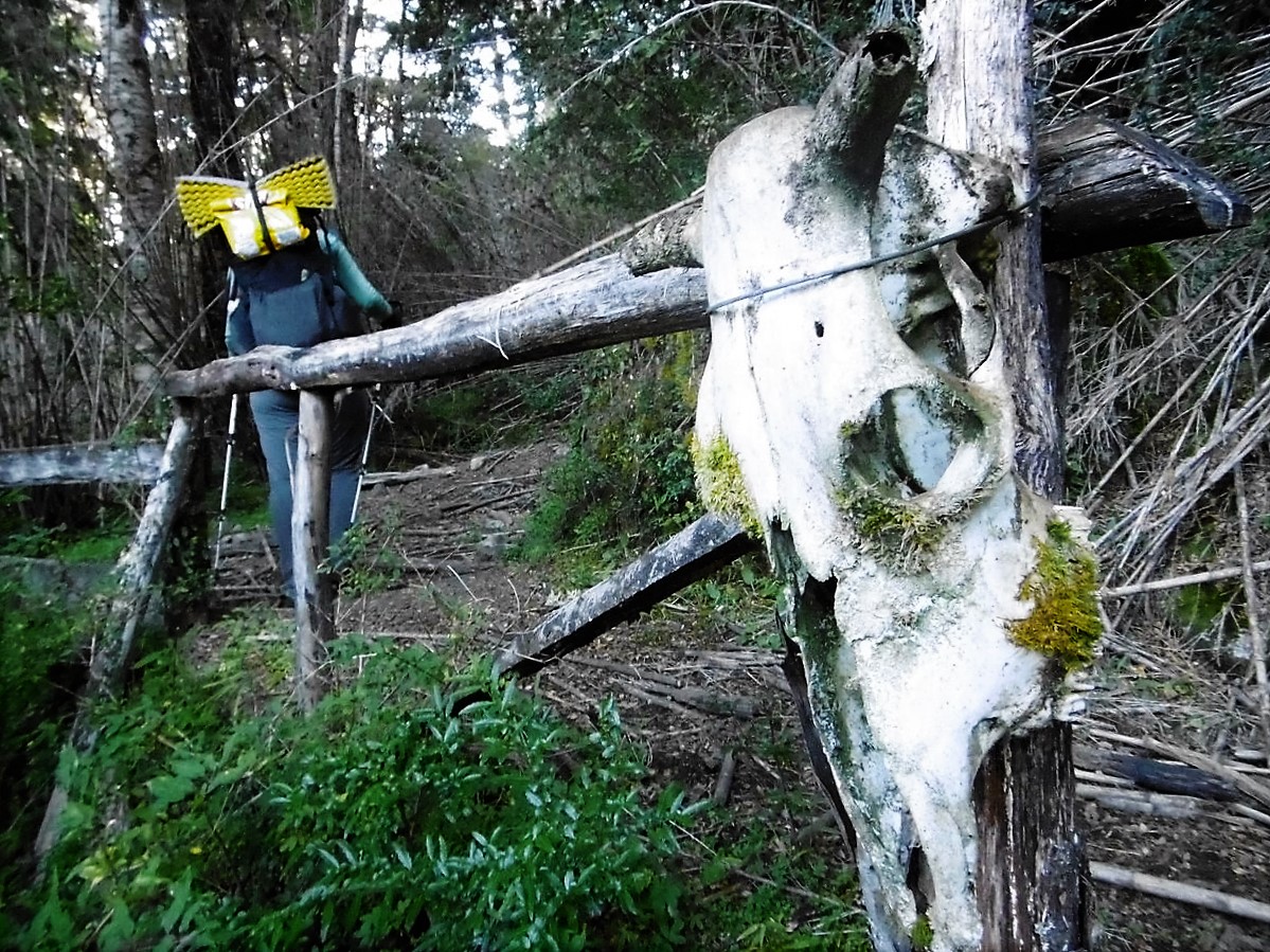
The rest of the day was a long, muddy clamber up a valley toward the lakes. The trail was furrowed deep, sometimes the ground was level with our heads, and ferns overhung us as we swung from the base of bamboo stocks around pockets of sucking mud. We climbed, happy to have such an easily distinguishable trail and marveling at incongruities of the Forest Service.
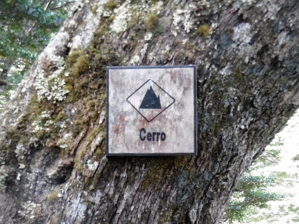
This trail appeared seldom-used, and we only saw one rather large set of footprints. All giant boot tracks we assign to Joey, even though his passing would have been some years ago. Either way, while there was little done in terms of trail maintenance or mitigating erosion, there were well-made placards all along the way providing helpful information such as: Mountain, Photo-op, Flora, Fauna.
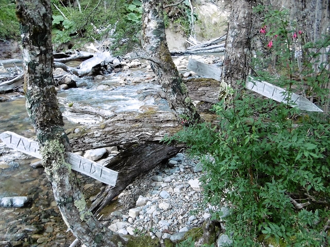
There was also older signage with actual purpose, and the trail was easy to follow so, really, I shouldn’t taunt them too hard. Some areas HAD been cleared of old dead-fall; other areas were rife with the victims of more recent storms.
At the higher elevations, the lakes were crystalline. We clambered over a roughly constructed wall (assuming it was there to keep animals out) on the trail which wound through forests, skirting wide valley clearings and river-valley bogs.
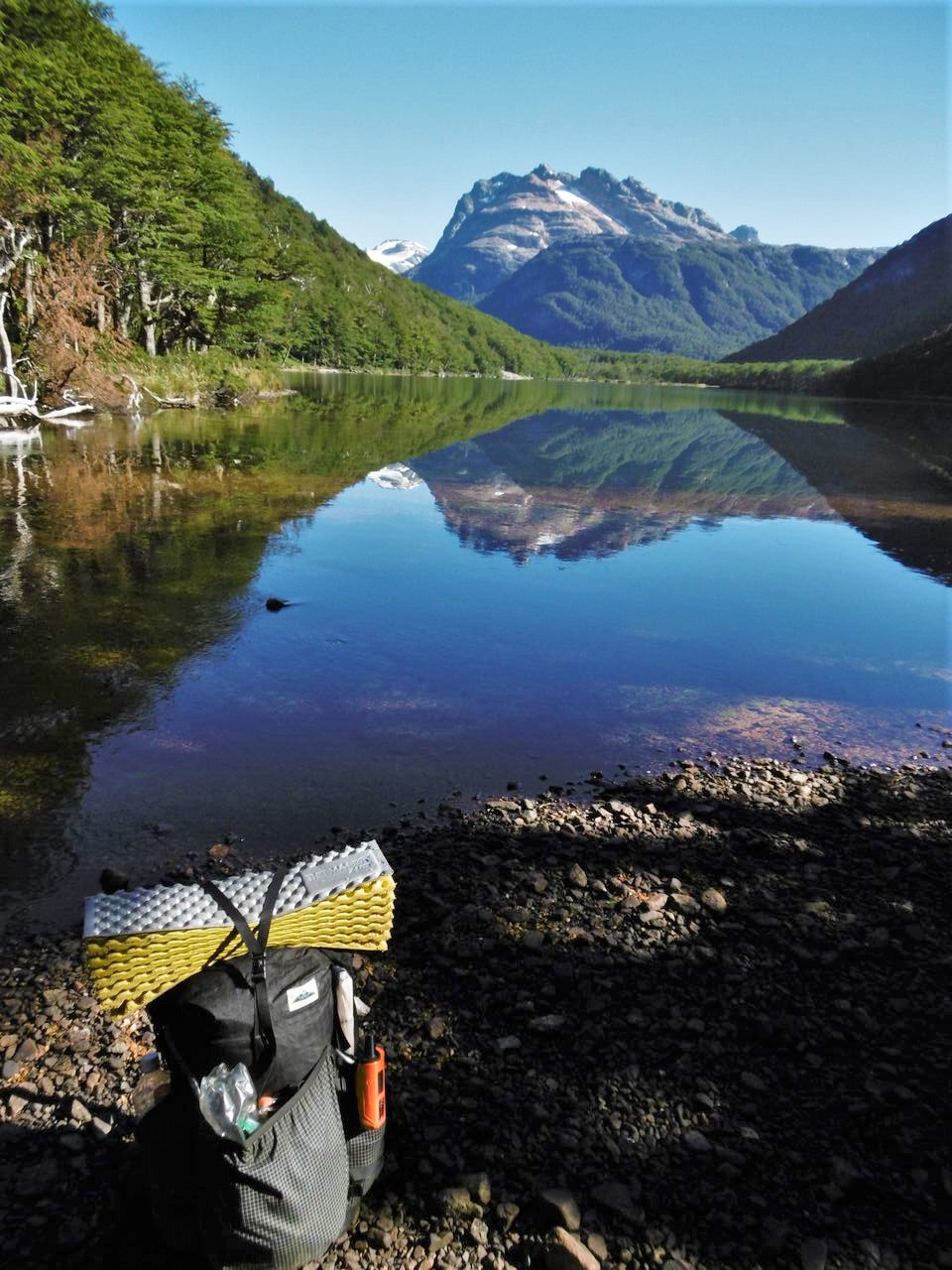
We awoke again to thick fire smoke. Surprised as we were now several valleys away from the initial blaze and with no knowledge of what was ahead, we stayed alert, watching, sniffing, listening for bird-song or other animal tells.
The Lago Palena basin was lush, and numerous campsites dotted the lake-shore. Around the far side of the wide lake, our Ruta Patrimonial markers, which had been counting down, ended at the base of a 3,000 foot climb back up to the ridges.
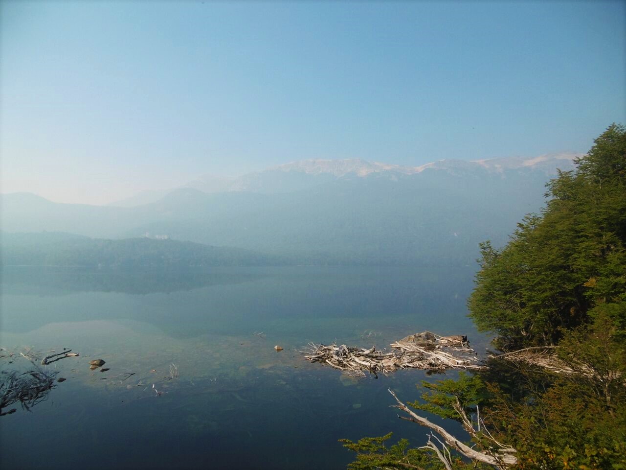
Straight up we went, grabbing exposed roots to haul ourselves up the steepest sections. Back to the realm of Condors and cliff walls. The route was marked by similar but newer marks and signposts up and over the next pass.
One of my favorite settings out here are these subalpine meadows. Just out of the wind, still face-to-face with the peaks. As we dropped into the Rio Azul valley, the trail became intermittent on the open hill faces, and we relied heavily on our GPS tracks to stay the course.
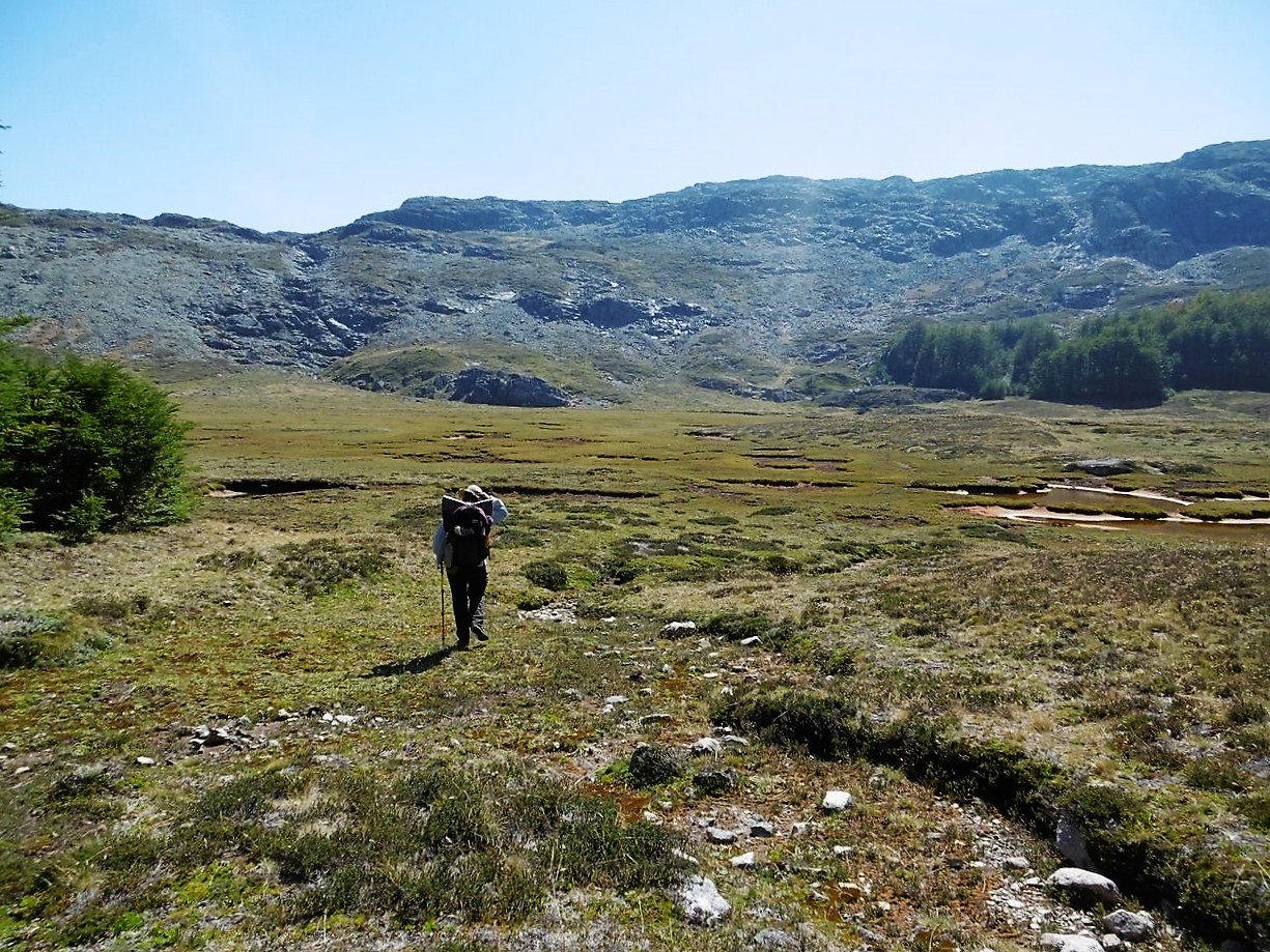
Passing seasonal and abandoned homesteads, the valley largely cleared for livestock, smoke thickened but animals continued, indifferent; so we proceeded, awestruck by the abounding beauty. We covered ground quickly, continued criss-crossing rivers, as we had been throughout the entire stretch.
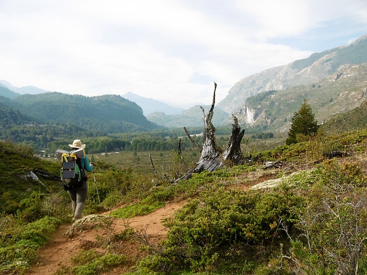
We encountered our first people in several days just after a pants-off river crossing. They were from the Fundacion Tierra Austral, out enjoying the nature they were working to preserve. From them we learned there was indeed a fire burning ahead, along the road in to town.
Armed with information and accepting the inevitability, we pressed on. Beyond this point the trail widened to a path which became a maintained dirt road. Walking quickly and nervously past the crackling hillside, it seemed the main pastime for folks from town was to drive out here, park their trucks and watch the fire.
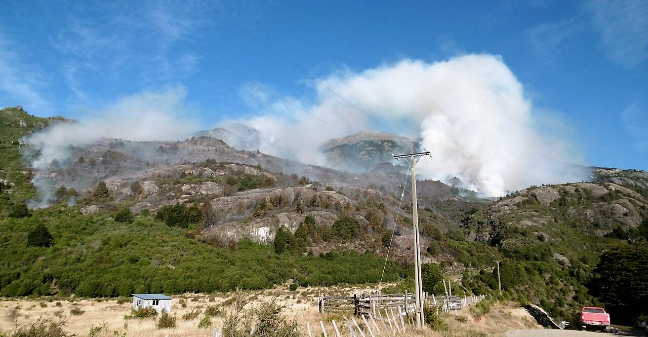
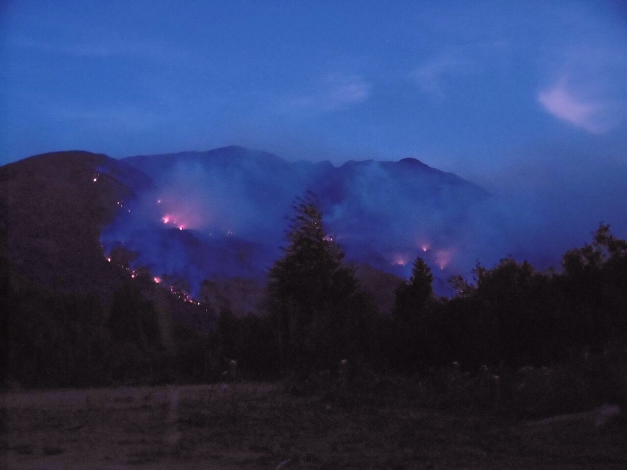
A fire commissioner drove past us several times. He stopped to ask where we’d been and, expecting him to have questions about the fire, we gave a relatively detailed account of our route. He sized us up, informed us that we had walked a long way, and asked if we had seen any javelinas.
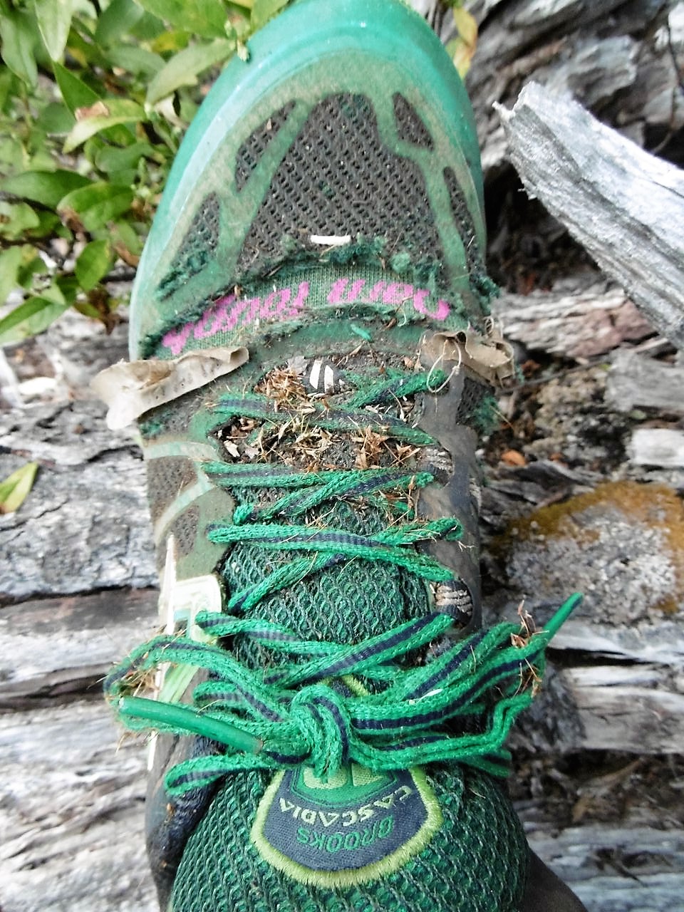
The next day we walked into Palena, resupplied, ate 24 empanadas, and decided that based on the decaying state of our shoes (Bad design on Brooks Cascadia 8) we would road-walk the 90 km on to Futaleufu.
Ruta Patrimonial
Traducción por Henry Tovar

Partiendo de Lago Verde, un mapa en una tabla desvanecida implicaba que había una ruta hacia Palena. El camino se agotó 15 km más tarde, alrededor de los primeros colonos. Pasando por encima de varios terrenos lavados, puntiagudos y llenos de rocas, eran intransitables en vehículo pero fácil de seguir. El camino abandonado casi desapareció poco mas allá de los colonos finales, cuando los campos de cultivo dieron paso al bosque nativo.
Es marzo, pero nos salimos del contexto del tiempo. En la selva virgen, los arboles se alzan alto encima de nuestras cabezas.
Toda la variedad y la textura de los musgos se funden los troncos de acceso al detritus y que cubren el suelo.
Un refugio de la vida silvestre. A medida que la pista se desvanece fuera y dentro, paradas para navegar se convirtieron en oportunidades para estar quieto y digerir la experiencia. Estaba sereno allí afuera.
Empezamos a ver marcadores en forma de diamante en el árbol, declarando esto a “Ruta Patrimonial”.
Al cruzar un ancho y fuerte río que fluye, presumiblemente entramos a la Reserva Nacional Lago Palena; los caminos se hicieron más claras y había una bonita cabaña, donde nos dejamos caer para el almuerzo.
Los límites del área del parque presentan una sección transversal interesante donde la vida rural, se encuentra con las regulaciones del parque. Los animales de la reserva no se preocupan mucho acerca de la delimitación, pero los seres humanos lo hacen de seguro. Es de dos partes: por una parte, el ganado seguirán un camino que ya está ahí, haciendo que los débiles sean más distinguibles. Por otro lado, demasiados y se rasgan hasta una pista.

El resto del día fue una escalada irregular larga, embarrada hasta un valle hacia los lagos. El sendero se frunció profundo, a veces el suelo estaba a nivel de la cabeza, y los helechos colgaban encima de nosotras a medida que giraban desde la base de las reservas de bambú alrededor de los bolsillos de la succión de barro, subimos, feliz de tener tal camino fácilmente distinguible y maravillándonos de las incongruencias del Servicio Forestal.

Este sendero parecía rara vez usado, y sólo vimos un gran par de huellas. Todas las huellas eran de botas gigantes lo que asignamos a Joey, a pesar de que su paso habría sido hace algunos años. De cualquier manera, mientras que hubo poco en términos de mantenimiento de los senderos o de mitigación de la erosión, había pancartas bien hechas proveyendo información útil como: Montaña, oportunidad de foto, Flora y Fauna.
También había señalizaciones más viejas con propósitos reales, y el sendero era fácil de seguir por lo que, en realidad, no debería burlarme de ellos tanto. Algunas áreas habían sido limpiadas de viejos caídos; otras zonas estaban llenas de las victimas de tormentas más recientes.

En las elevaciones más altas, los lagos eran cristalinos. Trepamos a una pared apenas construida (suponiendo que estaba allí para mantener a los animales fuera) en el sendero que serpenteaba a través de bosques, bordeando los valles claros y anchos y pantanos de llaves fluviales.

Despertamos de nuevo al humo de fuego grueso. Sorprendidos, ya que ahora estábamos varios valles lejos de la llamada inicial y sin conocimiento de lo que estaba adelante, estuvimos alerta, viendo, oliendo, escuchando los cantos de pájaros u otros llamados de animales.
La cuenca del Lago Palena era exuberante, y numerosos campamentos salpicaban la orilla del lago. Alrededor de la parte mas alejada del Gran Lago, nuestros marcadores de la Ruta Patrimonial, que habíamos estando contando regresivamente, terminaron en la base de una subida de 3.000 pies hacia la cresta.

Hacia arriba fuimos, agarrando las raíces expuestas para transportar a nosotras mismas hacia la sección mas empinada. Volver a la esfera de condores y las paredes de los acantilados. La ruta estaba marcada similarmente, pero nuevas marcas y señalizaciones aparecían por sobre la siguiente pasada.
Uno de mis ajustes favoritos en estas líneas son estos prados subalpinos. Justo afuera en el viento, aun cara a cara con los picos. A medida que caíamos en el valle del Río Azul, el camino se convirtió intermitente en las caras abiertas de la colina y que se basó en gran medida de nuestras pistas de GPS para mantener el rumbo.

Pasando propiedades estacionales y abandonadas, el valle se aclaró en gran medida para el ganado, el humo se espesó pero los animales continuaron indiferente, procedimos, impresionadas con la belleza abundante. Cubrimos terreno con rapidez, continuamos cruzando ríos, como lo habíamos hecho durante todo el tramo.

Encontramos a las primeras personas en varios días justo después de cruzar un río con los pantalones subidos. Eran de la fundación Tierra Austral, disfrutamos de la naturaleza que estaban trabajando para preservar. De ellos aprendimos que había hecho un fuego ardiente delante, a lo largo de la carretera de la ciudad.
Armadas con la información y la aceptación de lo inevitable, seguimos adelante. Mas alla de este punto el camino se amplió a un camino que se convirtió en uno de tierra mantenida. El caminar de forma rápida y nerviosa mas alla de la colina crepitante, parecía que el principal pasatiempo para la gente de la ciudad era conducir hasta aquí, aparcar sus camiones y ver el fuego.


Un comisionado de fuego pasó por delante de nosotros varias veces. Se detuvo para preguntar donde habíamos estado y, esperando que tuviéramos preguntas sobre el fuego, dimos un recuento detallado de nuestra ruta. Nos midió, y nos informo que habíamos recorrido un largo camino, y le preguntó si habíamos visto ningún jabalí.
Al día siguiente entramos en Palena, reabastecimos, comimos 24 empanadas, y decidimos que basándonos en el estado decadente de nuestros zapatos (mal diseño de Brooks Cascadia 8) caminaríamos por la carretera los 90km a Futaleufú.





Comments (1)
On some level it must’ve been a return to the familiar to have trail markers, and to be in a national park. Perhaps your stories of the trail are a precursor to a day when South America will have something akin to the PCT or the CDT.