Haz clic aquí para leer en español
Written by Neon
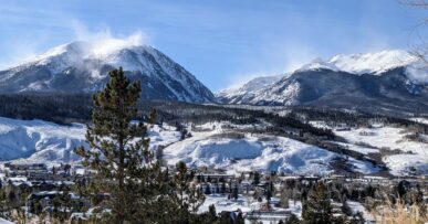
Dario and his wife Laura were also in the midst of ending their season at the hostel and preparing for the coming winter- Laura was a teacher at a local school and Dario guided ski trips in the winter. He had many stories to tell about different trips he’d led around the area, which is how we found out we could go a different way than walking the road up to where the Huella Andina began again- the official route had ended (again) at the north side of Parque Alerces. We were so excited, and it was a proposed area for a future section of the Huella to go through.
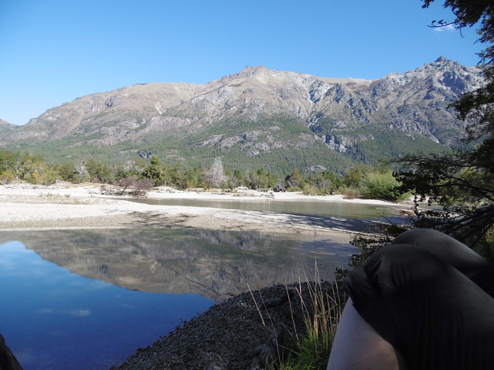
We got surprisingly specific directions about campsites and trails from Dario (he even pointed to them on our maps and was within 1.5km of each!) and headed off after a day of rest. I still wasn’t feeling my best, and Fidgit thankfully agreed to stay another night. We walked a few kilometers back down the road the way we came, turned right and followed that road to and around Lago Cholila to begin our journey up the valley Dario had pointed out on our GPS toward Tres Picos (3 peaks).
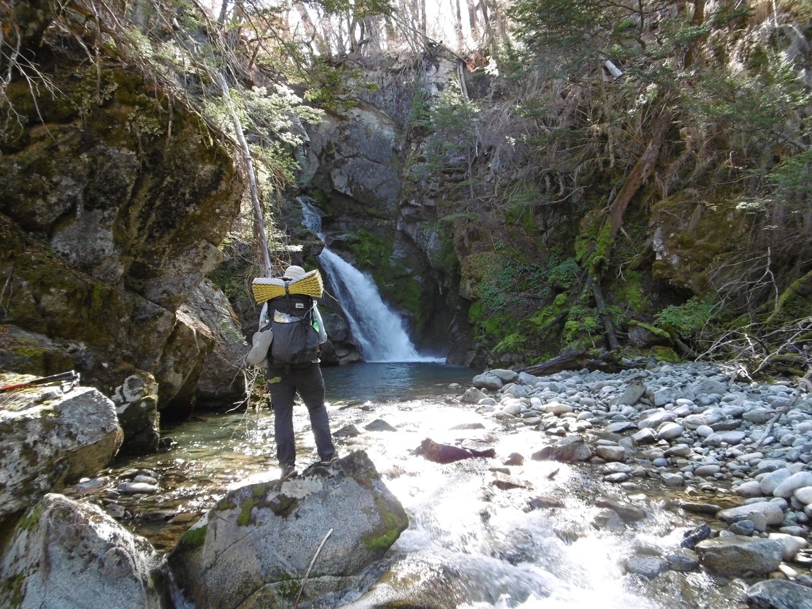
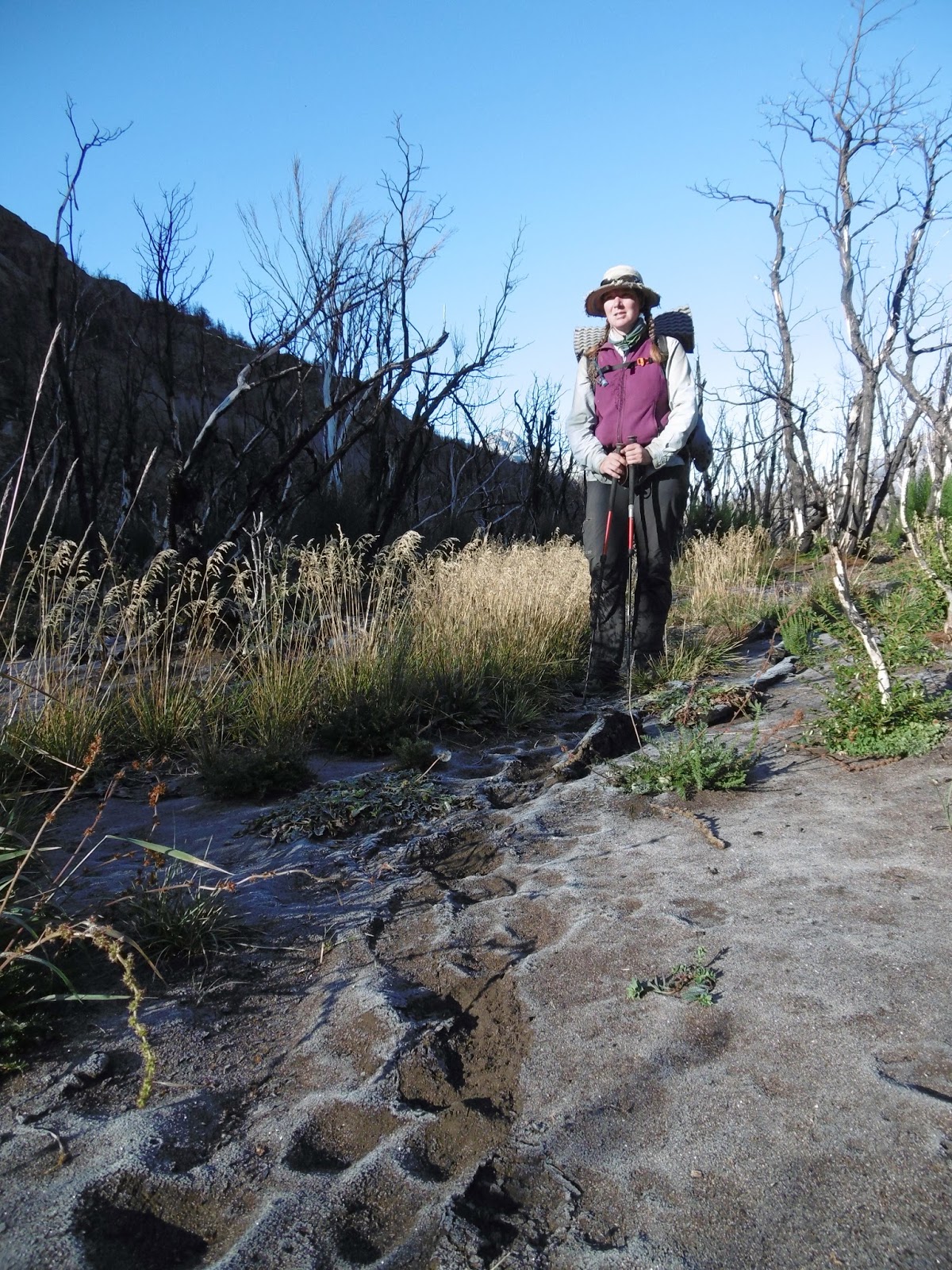
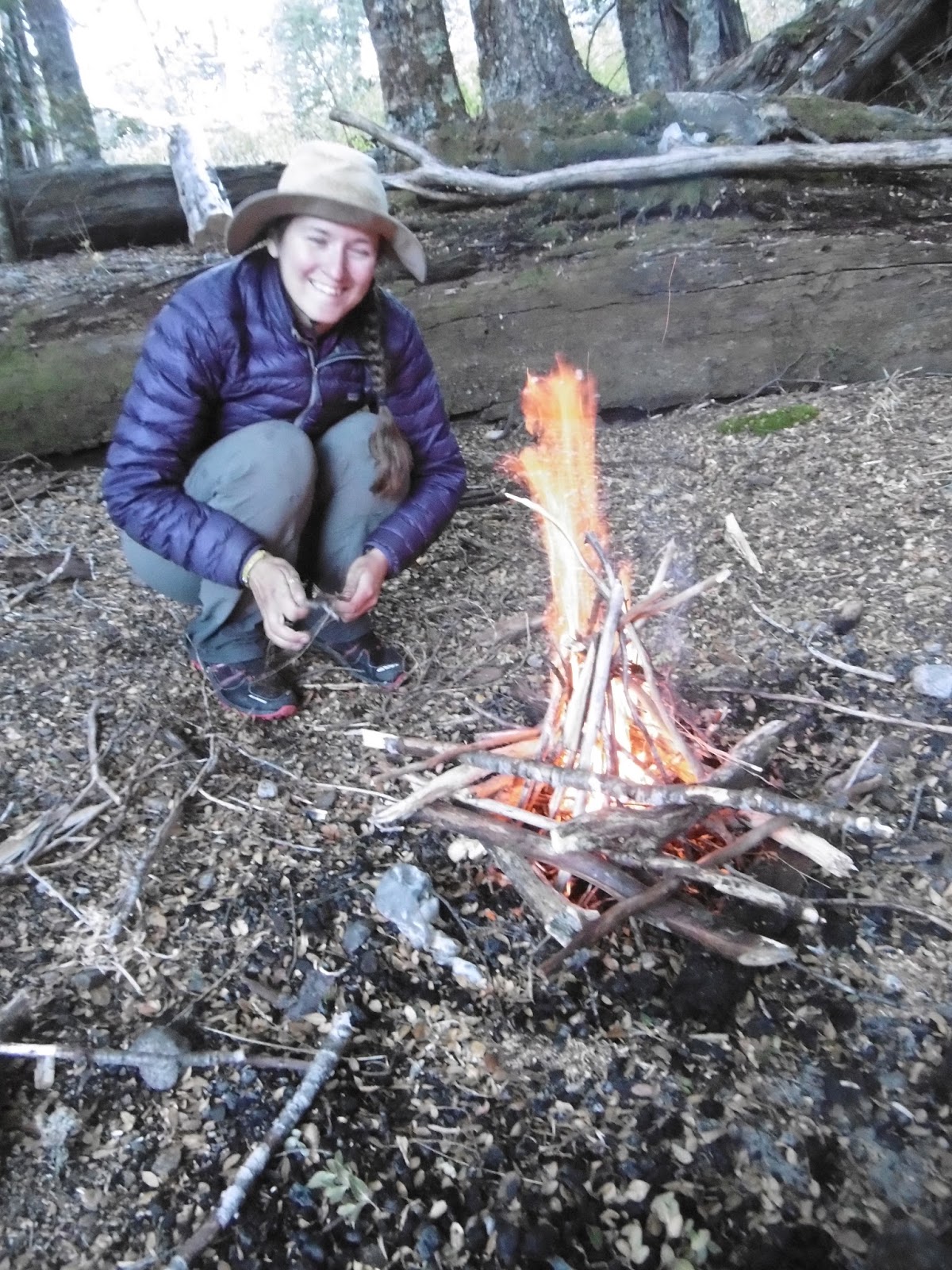
The next morning, we were able to follow the trail he had told us about up to where the valley opened up, then we were to follow along the stream to the end of the valley below Tres Picos, and there would be a campsite with a couple of blue barrels (extra food stash for local climbers who frequent the area). The valley was an interesting adventure. As we tried to stay out of the stream and follow along it, we ended up in and out of some massive overgrowth and leftovers of a multi-year-old fire. Towards the middle of the day, we were able to rock hop and follow along small animal tracks, but at the end of the day, I gave up and just slogged through the water to get to camp faster. It was cold, and the fall chill in the air didn’t help much. Thankfully, we were able to have a fire in the fire ring we found once we found the camp- so cozy. And I got to thaw out my frozen feet and dry my shoes before bed!
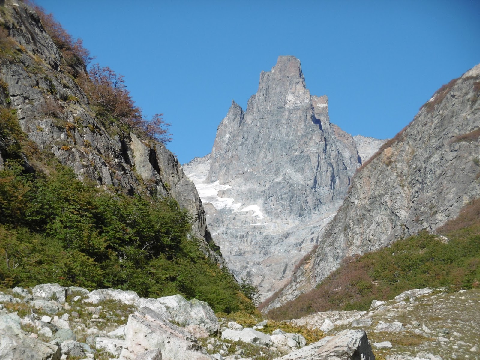
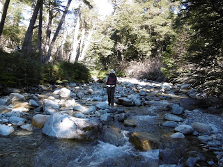
The next morning was cold. We were camped near the end of the valley below a pass, and the sun would not be on us until we walked closer to the pass. We packed up quickly, but our fingers froze anyway. With maps and GPS in gloved hands, we wanted to make sure we were going over the correct pass. Fidgit and I ascended the wide pass and were happy to be warmed by the morning sun. We descended the other side, following another creek, or arroyo, along a steep drainage that leveled out as we went down. I was able to keep my feet dry until 4pm. I would like to thank the rocks I hopped and my stubbornness (I hate wet feet). This valley was just as beautiful as the one we had come up, and we stumbled upon ‘Camp Mysterioso,’ as Dario had called it, right at quitting time. Making another fire in the fire ring at camp, we were able to dry out our shoes and socks once again. Dry feet always make me happy.
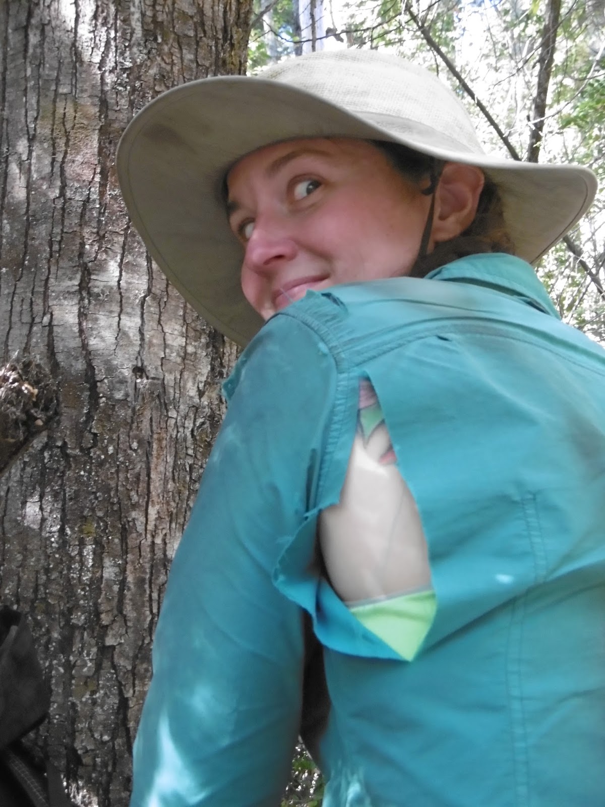
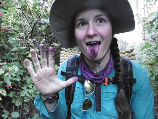
In the morning, we packed up and followed a trail we found along the side of the valley. We began to get concerned, because we kept going up and up, but then it leveled out and we passed a refugio and then a few kilometers later came out to a viewpoint with a sign at it- we had arrived in another National Park. Parque Nacional Lago Puelo had multiple signs that helped us get to the actual lake. From there we were able to follow a well-marked people/horse/cow path to the settlement of Disemboque, where we immediately were distracted from walking by massive blackberry bushes. Since there aren’t bears or squirrels, the bushes were huge and rife with uneaten berries, so we stuffed our mouths before waddling off to find camp for the night along Rio Epuyen. We talked to a rancher who said there’d been a forest fire, and we were warned finding the Huella Andina into Lago Puelo (the town) may be difficult. My belly full of berries, I slept well that night.
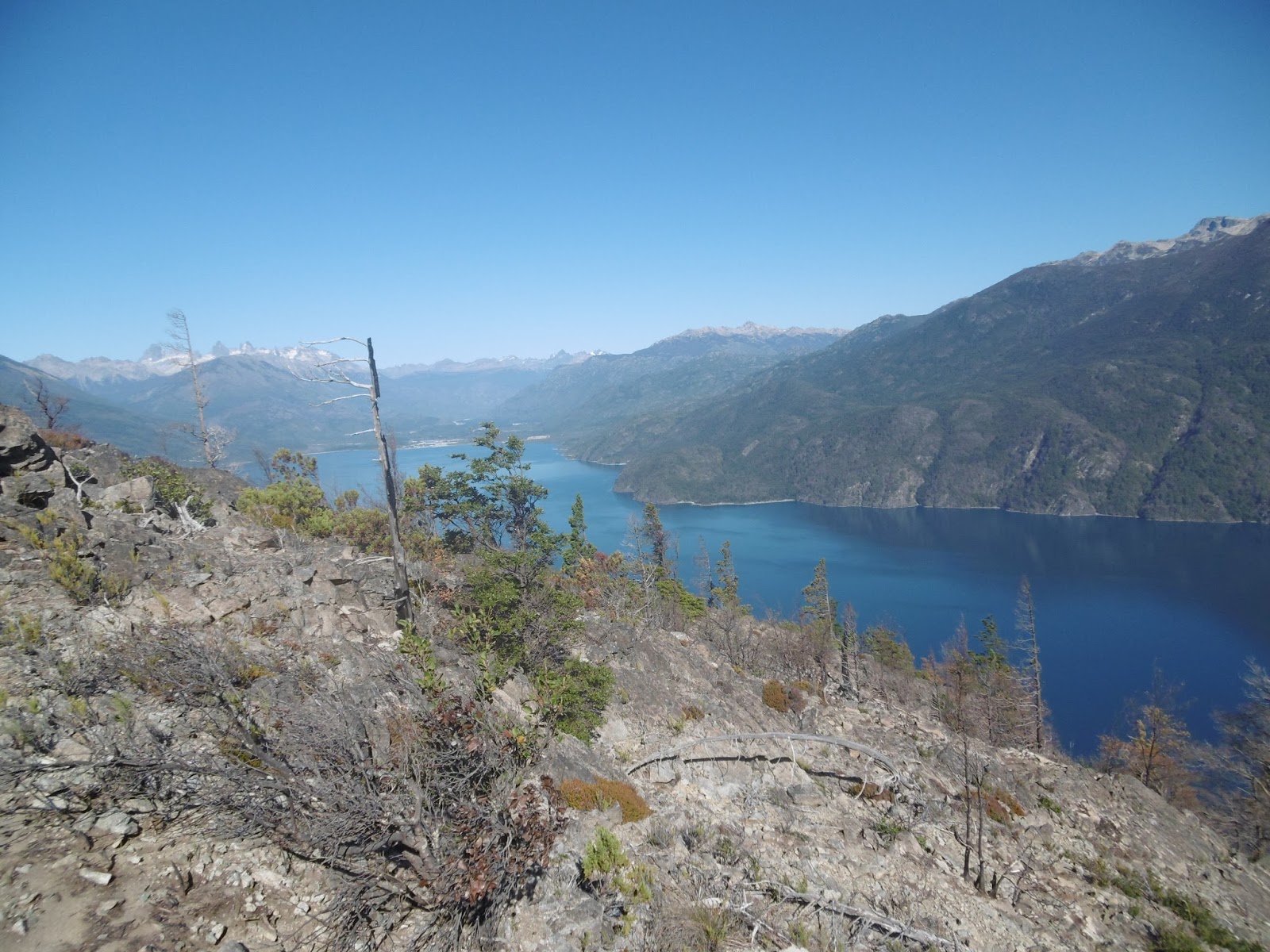
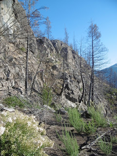
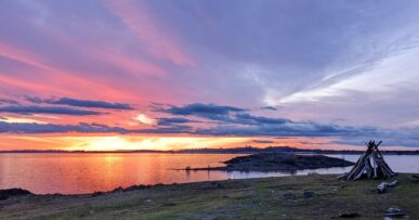
Rising early the next morning, we packed up camp and walked through a light fog towards where we believed the continuation of the Huella Andina began. Thankfully, our GPS route was close to correct, as we shortly found trail markers for the Huella. Fidgit and I followed the markers, which led us steeply up out of both the valley and the fog. As the morning continued, we were generally able to find the trail markers and follow them- many of them were painted on rocks along the way, which helped in a newly burnt forest, as many of the trees were charred black and/or had fallen over. We lost the markings a couple of times, but quickly found them again. At the top of the outcropping, we had been going up, we stopped and had some lunch, looking towards the town of Lago Puelo across Lago Puelo and figuring out what our route for the afternoon would be. The rancher was correct; the wild fire damage was worse on this side. After lunch, we continued following the trail markers, though they became harder and harder to find. Many of them we had to look back after passing the marked tree to see. Eventually, we lost the markers and gave up attempting to find them and just bushwhacked through the burnt forest. There were times that afternoon we were sliding down a steep hillside knee deep in ash from the fire, and we both ended up covered in black from pushing through burnt trees and brush. The going was slow, but we eventually made it out of the burnt forest at a beach, both worn out and definitely out of water. Grateful to be at the beach, we filled up on water and immediately drank a bunch as well. The sun was just setting as two Park Rangers walked up to us and informed us the Parque was closed and we would have to leave. Worn out from our day, Fidgit and I were still respectful and were able to explain our situation to them. The Rangers relented and told us of a place we could stealth camp a couple kilometers down the beach. They also informed us that the wildfire area we had just walked through had just happened last year (2015) and it was closed to hikers. Thankful and exhausted, we pushed to the area they specified and collapsed for a couple minutes before setting up camp and eating dinner. We then collapsed into the tent carefully, as to not get too much ash from the wild fire and sand from the beach in the tent.
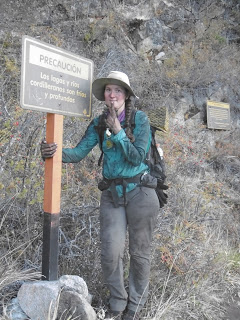
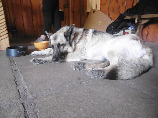
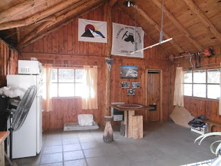
I was sore the next morning from using upper body muscles I hadn’t used in a while, and I’m sure Fidgit had some sore muscles as well as we walked into town. It was a bit further down the road than expected, but a lovely respite nonetheless. Dario had told us of a hostel there run by Club Andino Lago Puelo, the local chapter of the Alpine Club. It took us a while to find it, but eventually we did- thankfully we had stopped for a snack on the way into town. A bonus-we were the only people staying there! It seemed as though once the tourist season ended, everyone cleared out, and all of the parks shut down within a week, so quickly. There was a caretaker, a lovely young man who was studying music at the college who was able to stay for free for checking hostel guests in and collecting their money. We were able to get town chores done and relax for a bit. The nights were definitely getting chillier, so it was a nice respite to be indoors for a bit before we made our final push to Bariloche.
De Cholila a Lago Puelo
Escrito por Neon
Traducción por Henry Tovar
Darío y su esposa Laura también se encontraban en medio de poner fin a su temporada en el albergue y la preparación para el próximo invierno, Laura es maestra en una escuela local y Darío guía de viajes de esquí en el invierno. Él tenía muchas historias que contar sobre diferentes viajes que había llevado alrededor de la zona, que es lo que nos dimos cuenta de que podíamos ir una manera diferente de hacer el camino hasta donde la Huella Andina comenzó de nuevo- la ruta oficial había terminado (de nuevo) en el lado norte del Parque los Alerces. Estábamos muy emocionadas, y que era una zona propuesta para una futura sección de la Huella que pasar.

Nos dieron sorprendentemente instrucciones específicas sobre campings y senderos de Darío (incluso señaló a ellos en nuestros mapas y estaba a 1,5 kilometros de cada uno!) Y nos dirigimos después de un día de descanso. Todavía no me sentía mejor, y Fidgit afortunadamente accedió a quedarse otra noche.
Caminamos unos pocos kilómetros de vuelta por el camino por donde hemos venido, giramos a la derecha y seguimos por ese camino y alrededor de Lago Cholila para iniciar nuestro viaje por el valle Darío había señalado en nuestro GPS hacia Tres Picos (3 picos).


A la mañana siguiente, fuimos capaces de seguir el rastro que él nos había dicho sobre hasta donde el valle se abre, luego seguimos a lo largo de la corriente hasta el final del valle Tres Picos, y habría un camping con una par de barriles azules (escondite con comida extra para los escaladores locales que frecuentan la zona). El valle era una interesante aventura. Como hemos tratado de mantenernos al margen de la corriente y seguir a lo largo de ella, terminamos dentro y fuera de algunos sobre crecimiento masivo y las sobras de un incendio de varios años de edad. Hacia la mitad del día fuimos capaces de saltar rocas y seguir a lo largo de las pequeñas huellas de animales, pero al final del día, me di por vencida y simplemente caminamos a través del agua para llegar al campamento más rápido. Hacía frío, el frío y la caída en el aire no ayuda mucho. Afortunadamente, fuimos capaces de tener un fuego en el anillo de fuego que encontramos una vez que encontramos el campamento tan acogedor. Y llegué a descongelar a mis pies congelados y secar los zapatos antes de dormir!


la mañana siguiente estaba fría. Acampamos cerca del final del valle por debajo de un pase, y el sol no estaría sobre nosotras hasta que nos acercamos al pase. Nos llenó rápidamente, pero los dedos se congelaron de todos modos. Con mapas y GPS en las manos enguantadas, queríamos asegurarnos de que íbamos por el paso correcto. Fidgit y yo subimos al pase de ancho y estábamos felices de ser calentadas por el sol de la mañana. Bajamos el otro lado, a raíz de otro arroyo, a lo largo de un drenaje empinado que se niveló mientras bajábamos. Yo era capaz de mantener los pies secos hasta las 4 pm. Me gustaría dar las gracias a las rocas y me subí a mi terquedad (odio los pies mojados). Este valle era tan hermoso como al que habíamos llegado, y nos topamos con ‘Campamento Mysterioso’, como lo había llamado Darío, justo a la hora de dejar de fumar. Haciendo otro incendio en el anillo de fuego en el campamento, hemos sido capaces de secar los zapatos y los calcetines, una vez más. Los pies secos siempre me hacen feliz.


Por la mañana, hicimos las maletas y seguimos un sendero que encontramos a lo largo del lado del valle. Empezamos a preocuparnos, porque nos mantenía subiendo más y más, pero luego se estabilizó y pasamos junto a un refugio y luego un par de kilómetros más adelante llegamos a un mirador con una muestra en IT que habíamos llegado en otro Parque Nacional. Parque Nacional Lago Puelo tenía múltiples signos que nos ayudaron a llegar al lago real. A partir de ahí fuimos capaces de seguir una trayectoria personas / caballo / de la vaca bien marcado a la solución de Disemboque, donde inmediatamente estábamos distraídas de caminar por zarzas masivas. Puesto que no hay osos o las ardillas, los arbustos eran enormes y lleno de bayas sin comer, así que rellenamos nuestras bocas antes de partir a buscar de acampar para pasar la noche a lo largo de Río Epuyén. Hablamos con un ranchero que dijo que había habido un incendio forestal, y nos advirtieron encontrar la Huella Andina en Lago Puelo (el pueblo) puede ser difícil. Mi barriga llena de bayas, dormí bien esa noche.


Levantando temprano la mañana siguiente, empacamos nuestro campamento y caminamos a través de una niebla de luz hacia donde creíamos que la continuación de la Huella Andina comenzaba. Afortunadamente, nuestra ruta GPS estaba cercano al correcto, ya que el sendero marcadores de Huella encontramos en breve. Fidgit y yo seguimos a los marcadores, que nos llevaron a cabo abruptamente hasta tanto del valle y la niebla. A medida que continuó la mañana, estábamos en general, capaz de encontrar los marcadores del rastro y seguirlos- muchos de ellos fueron pintadas en las rocas en el camino, lo que ayudó en un bosque recién quemado, ya que muchos de los árboles estaban carbonizados negro y / o habían caído encima. Hemos perdido las marcas de un par de veces, pero los encontramos de nuevo rápidamente. En la parte superior del afloramiento, habíamos estado yendo hacia arriba, nos detuvimos y tomamos un poco de almuerzo, mirando hacia la localidad de Lago Puelo a través del Lago Puelo y averiguando cuál sería nuestra ruta por la tarde. El ranchero estaba en lo correcto; el daño de fuego salvaje era peor en este lado. Después del almuerzo, continuamos siguiendo las marcas del rastro, a pesar de que se hicieron cada vez más difícil de encontrar. Muchos de ellos tuvimos que mirar hacia atrás después de pasar el marcado de árboles para ver. Con el tiempo, hemos perdido los marcadores y dimos por vencidos tratando de encontrar ellos y sólo caminando por los arbustos través de los bosques quemados. Hubo momentos en que tarde nos deslizarse por una empinada ladera de la rodilla profunda en las cenizas del fuego, y ambas terminamos cubiertas de negro de empujar a través de árboles quemados y cepillo. La marcha era lenta, pero finalmente logramos salir del bosque quemado en una playa, tanto
desgastado y definitivamente fuera del agua. Agradecidas de estar en la playa, nos llenamos de agua y de inmediato tomamos un montón también. El sol se estaba poniendo cuando dos guardabosques se acercaron a nosotras y nos informaron que el Parque estaba cerrado y que tendríamos que salir.
Desgastado de nuestro día, Fidgit y yo todavía éramos respetuosas y fuimos capaces de explicar nuestra situación para ellos. Los guardabosques cedieron y nos dijeron de un lugar que podría sigilo campo de un par de kilómetros por la playa. También nos informaron de que el área de incendios forestales que acababa de entrar a través acababa de pasar el año pasado (2015) y estaba cerrado a los excursionistas.
Agradecidas y agotadas, empujamos a la zona que se especifican y se derrumbó durante un par de minutos antes de la instalación del campo y comer la cena. Luego se unieron a la tienda con cuidado, ya que no reciba una dosis excesiva de cenizas del fuego salvaje y la arena de la playa de la tienda de campaña.

Estaba dolorida la mañana siguiente el uso de los músculos superiores del cuerpo que no había usado desde hace tiempo, y estoy seguro de Fidgit tenía algunos dolores musculares, así como entramos en la ciudad. Fue un poco más por el camino de lo esperado, pero un sitio encantador, no obstante. Darío nos había dicho de un albergue hay gestionado por el Club Andino Lago Puelo, el capítulo local del Alpine Club. Nos costó un poco encontrarlo, pero al final lo hicimos – por suerte habíamos parado para tomar un aperitivo en el camino a la ciudad. Un bono- éramos las únicas allí! Parecía como si una vez que terminó la temporada turística, todo el mundo se aclaró, y todos los parques apagar dentro de una semana, con tanta rapidez. Hubo un cuidador, un joven encantador que estaba estudiando música en la universidad que fue capaz de mantenerse de forma gratuita para el control de los huéspedes del hostal y recoger su dinero. Hemos sido capaces de conseguir las tareas realizadas ciudad y relajarse un poco. Las noches eran sin duda cada vez más frías, por lo que fue todo un respiro para estar en el interior un poco antes de que hiciéramos nuestro último empujón a Bariloche.






Comments (1)
I love reading your story, but since my trail name on the PCT was blackberry, I especially related to the expression on your face in the juicy, purple photo. Thanks for being amazing!