Written by Fidgit
Haz clic aquí para leer en español
The Greater Patagonian Trail is like the long distance trails of the United States insofar as it has a 3 word name which includes the word “trail.” Beyond that, the similarities thin. In fact it is not a trail designed for thru-hiking. Rather it is a network created to promote in depth and “off the beaten path” explorationof the culture and terrain of the deep south.
Beyond the name and intent of designing a way to explore the region on foot and/or packraft (and some sections are bikeable) the GPT has little in common with any other trail you have wandered on. Two significant points of difference are that hikers do not necessarily have the right to hike this route and it is not a contiguous, fluid trail. It is a 3000 km network of trails and rivers which happento have a (roughly) 1800km stretch which connects Parque los Glaciares/Fitz Roy in the south to Santiago, Chile.
The Greater Patagonian Trail has been in the works since 2008 by Jan and his wife, Meylin. They have put a lot of care into its development and share it in good faith. It is their hope that this route become a community project, as growth in the villages and towns and the changing landscape are impossible for any one team to keep up with. In this way, when you come down, find ways to put energy back into the project, people, and communities.
Base line: pack out trash, LEAVE GATES AS YOU FIND THEM, do not have fires unless necessary. Read Jan’s description of the trail 3 times over, know the rules of LNT by heart, then come back to this article and think through each of the questions listed at the end.
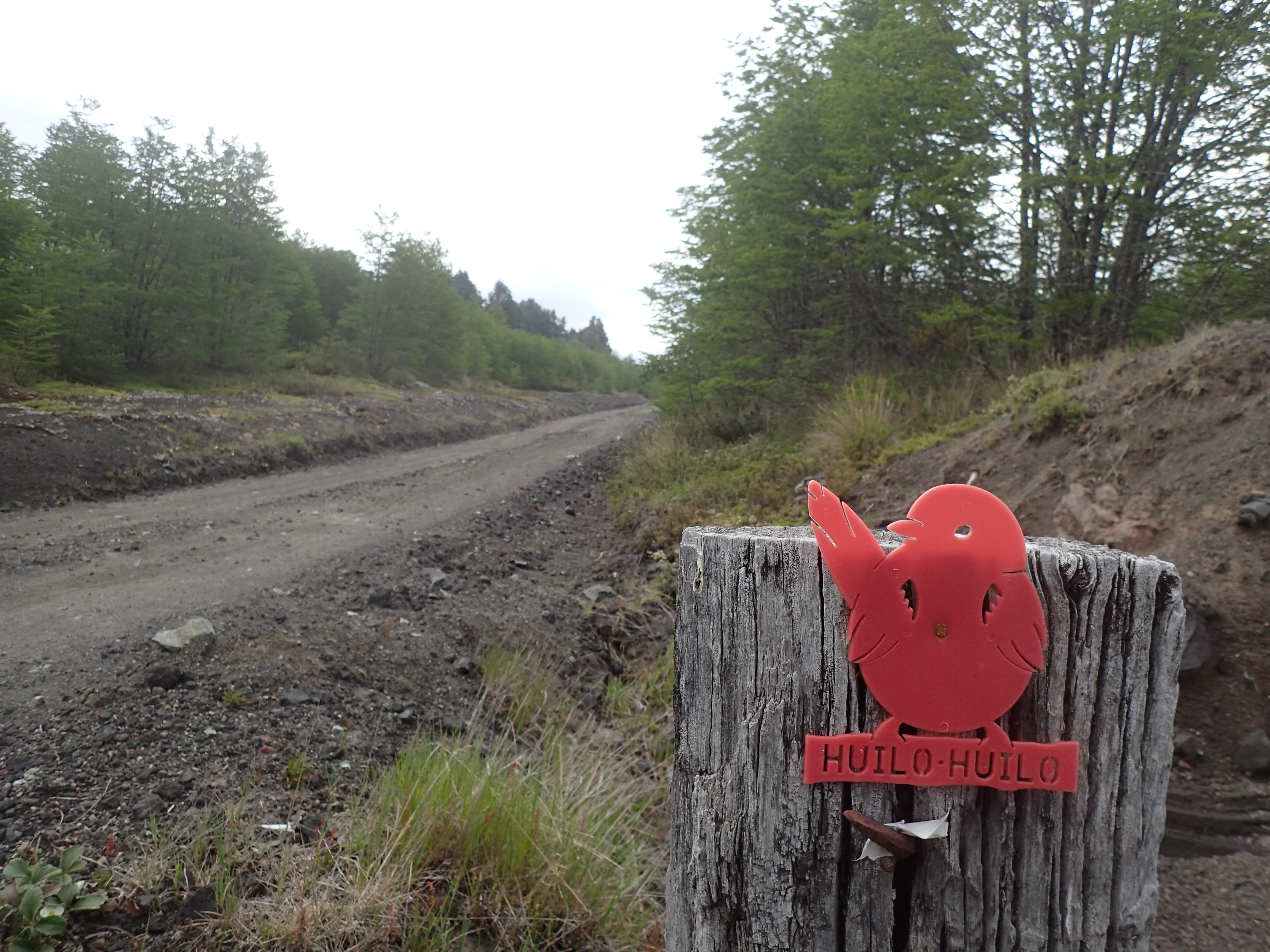
In 2000 the Chilean government claimed they would have the Sendero de Chile done by the year 2010 to celebrate the country’s bicentennial birthday. The foundation, based in Santiago, is now more oriented toward taking groups out to hike. The “trail” itself has become something of a joke to our expedition group, as it is spotty and often times circular hikes in National Parks. We were on it 4 times in our first 3000 km (mostly south of the GPT), usually along roads leading into national parks. The blazes are red and white and generally marked for south-bounders (SoBo). It is clear a lot of money and effort went into it up front and little was left for maintenance. The CONAF guards’ only interest is that you stay on the widely used trails through their parks and that you do not catch them on fire.
Firstly the GPT is not a trail because we do not necessarily have a right to be on it. Sections of the route pass through private land. Some are inhabited by owners or caretakers, others are abandoned most of the year except by herd animals (usually sheep, cattle, or goats). These folks have every right to forbid you from crossing their property. For the amount of effort and support US groups such as the CDTC go through to negotiate land easements for trails in the US, it doesn’t seem likely the Chilean government is going to do much to change this anytime soon.
Regarding the private lands, imagine with me:
You are sitting in your living room, minding your own business when out of nowhere there is a knock on the door. A bedraggled stranger stands there and asks to use your bathroom. You are a kind person so of course you let them in. Over the next few years a couple folks appear every now and again, always knocking, asking, respectful, and grateful. They have interesting stories and make the time to explain their crazy adventures to you.
Then, the flow of people increases, and some rude neighbors begin riding their motorbikes and quatris in and leaving piles of trash. Then, in the summer of 2016/2017 over 50 people come parading through.
People quit knocking, stop asking, some do not even speak your language. Still others seem to think they can sneak through. You ask what they’re doing, and they inform you there is a guide about public restrooms and yours is on the list.
Odds are, you are going to do one of two things, lock your door and barricade the windows or start charging.
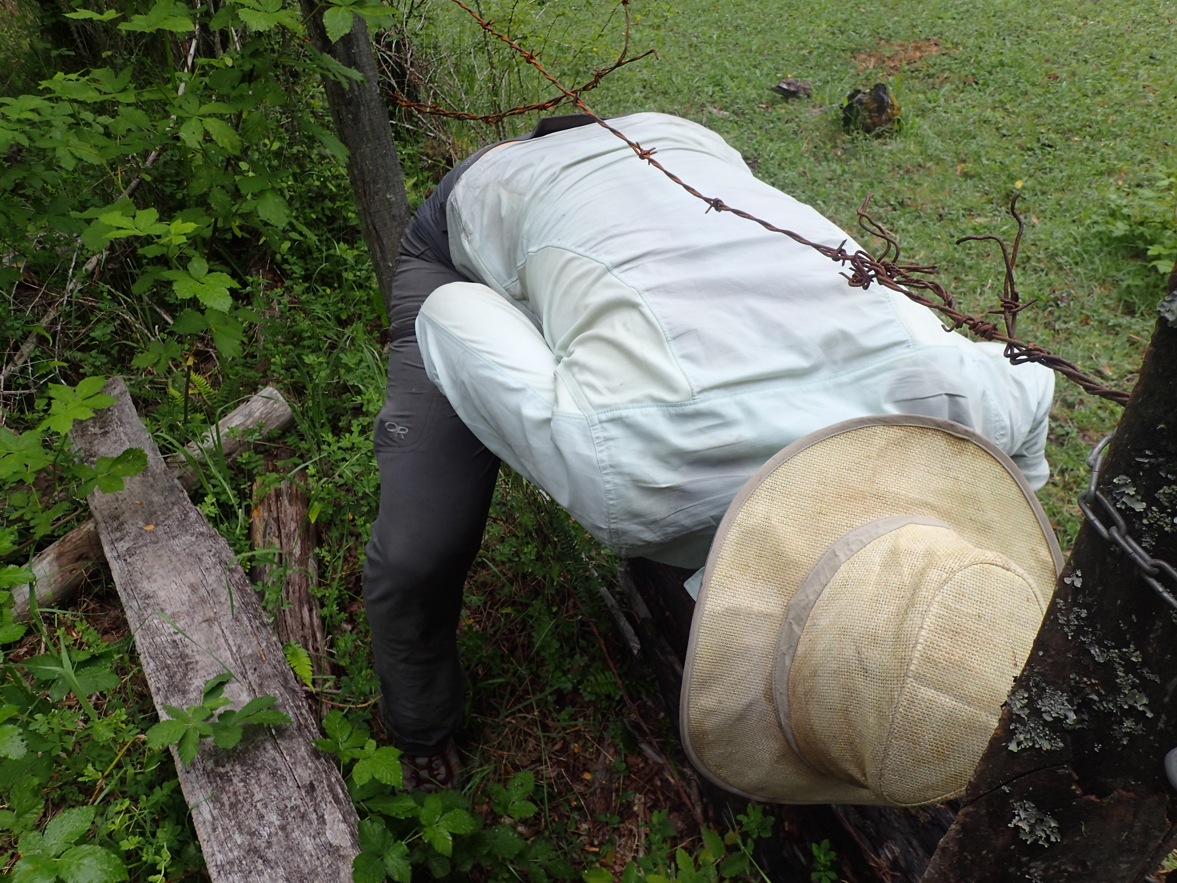
That is exactly what has begun happening on the GPT. We do not have the rights to this land, and passing through many of the national parks and preserves dumps you right onto private land. Here we must defer courteously to the landowners.Most of the time, they honestly don’t mind walkers going through, still, being respectful is of the utmost importance. If questioned or pressed, do not get haughty or pushy, they are in the right, you are trespassing. The best we can aim for is to be friendly trespassers. That said, technically there is a law in Chile which affords right of passage within 150 m of water, though this is not always observed.
One rule of campo courtesy is whenever you approach a settlement, whistle a tune. This lets humans and animals alike know you are coming and avoids startling and some unpleasantness. It is also simply the done thing, neighbors recognize each other’s whistles and this gives a heads up that you are a stranger who does not have sneaky or otherwise nefarious intent. The responsibility of approaching and introductions falls to you. If you are passing at the far end of the field sometimes just a nod of the head and friendly wave will do the trick.
On a side-note, if a snarling dog or pack approach, bend over to pick up a rock, or even just pretend to pick up a rock and they will quickly back off and at least maintain some distance.
Secondly the GPT is nothing like any of the long distance trails in the US. In fact Neon, who has hiked all 3 long distance trails (AT, PCT, CDT) and several others, has said some sections of the GPT (mostly the southern stretches) are more challenging even than the Continental Divide Trail. It is more of an, as she likes to call it, “choose your own adventure” route.
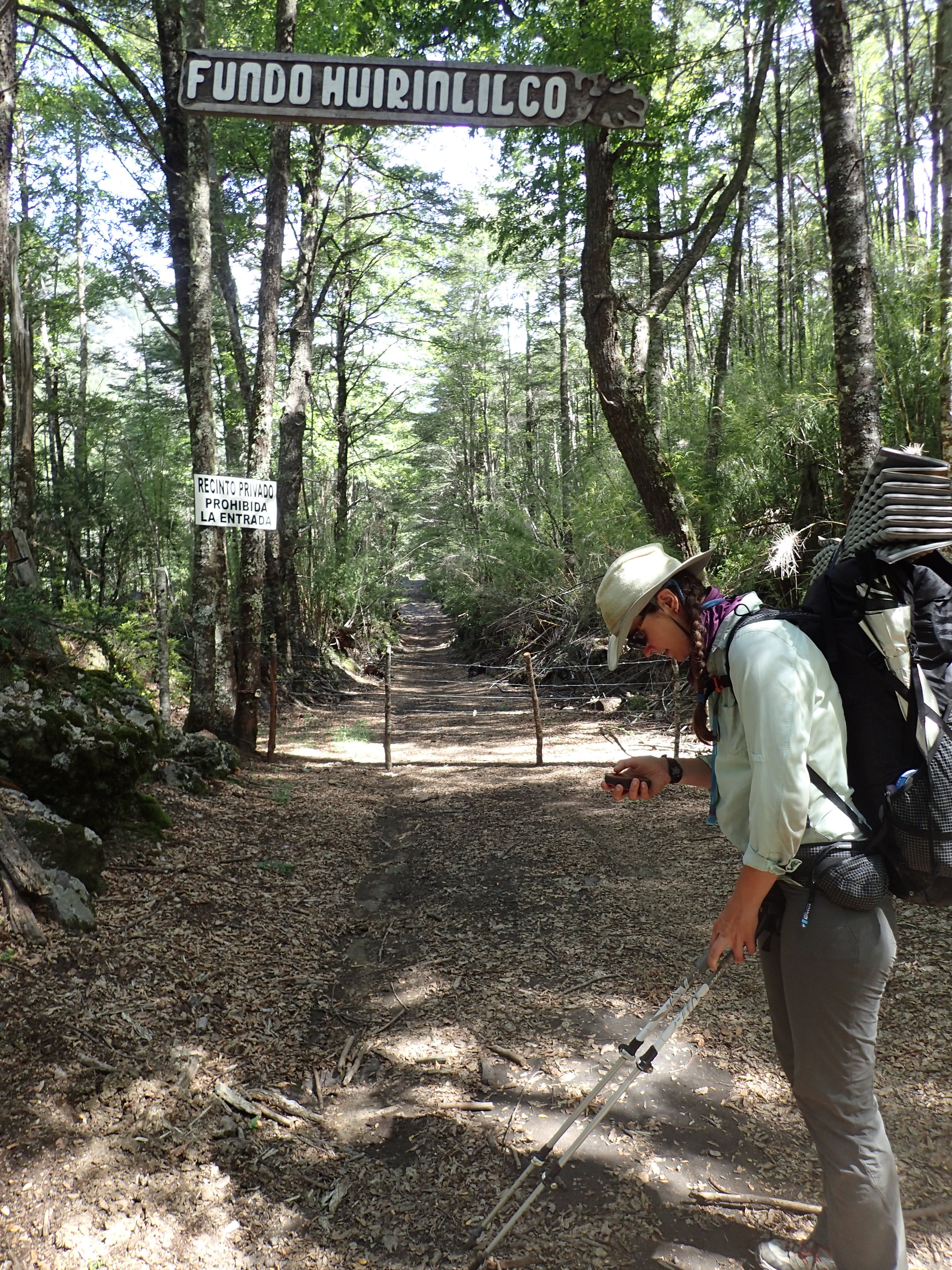
Many long trails have a certain “feel” to them. “Tells” which – after some months – a hiker can make a fair judgment about what it does next and can begin to consistently log big mile days. This is not the case with the GPT. Sometimes road, sometimes cow path, sometimes completely overgrown. In certain sections, it is heavily marked, but this is inconsistent. Some areas, there is no trail, it is battling through bamboo or cross country navigation with spotty satellite coverage and inconsistent information. The GPT is about proceeding carefully and checking your GPS often. It is not about speed, it is about attentiveness, both to the changing nature of the route as well as the people.
In fact, this season there was a couple out on the trail who embody the spirit of the intent of this trail. In each town they load up with as much food as possible and prolong their time on each section as long as possible, exploring the side valleys, glaciers, and many wonders of the region. As Jan explains it, “this route is designed for appreciation, not speed.”
Defer to the weather and always carry extra food. Patagonia is not a region for ultra-light exploration. In our own traverse we quickly had to disconnect from the US trail custom of spending less than a day in each town. What can be completed in an afternoon with US efficiency here will take, usually, at least a couple. We sometimes spent up to a week completing chores, getting to know the people, or waiting out heavy, dangerous weather.
We learned to carry at least one day worth of extra provisions, having been forced to hole up in abandoned puestos to wait out heavy weather which snuck up on us while high in the mountains.
Already several crews have come down with missions of self-aggrandization and were quickly diverted from their declared intent. So, know your reasons and your limits because, again, as Jan says, “approach this trail with humility or be humiliated.” This trail is not for first time distance hikers, though a number of sections may be good for an introduction to backpacking [see Jans rating scale].
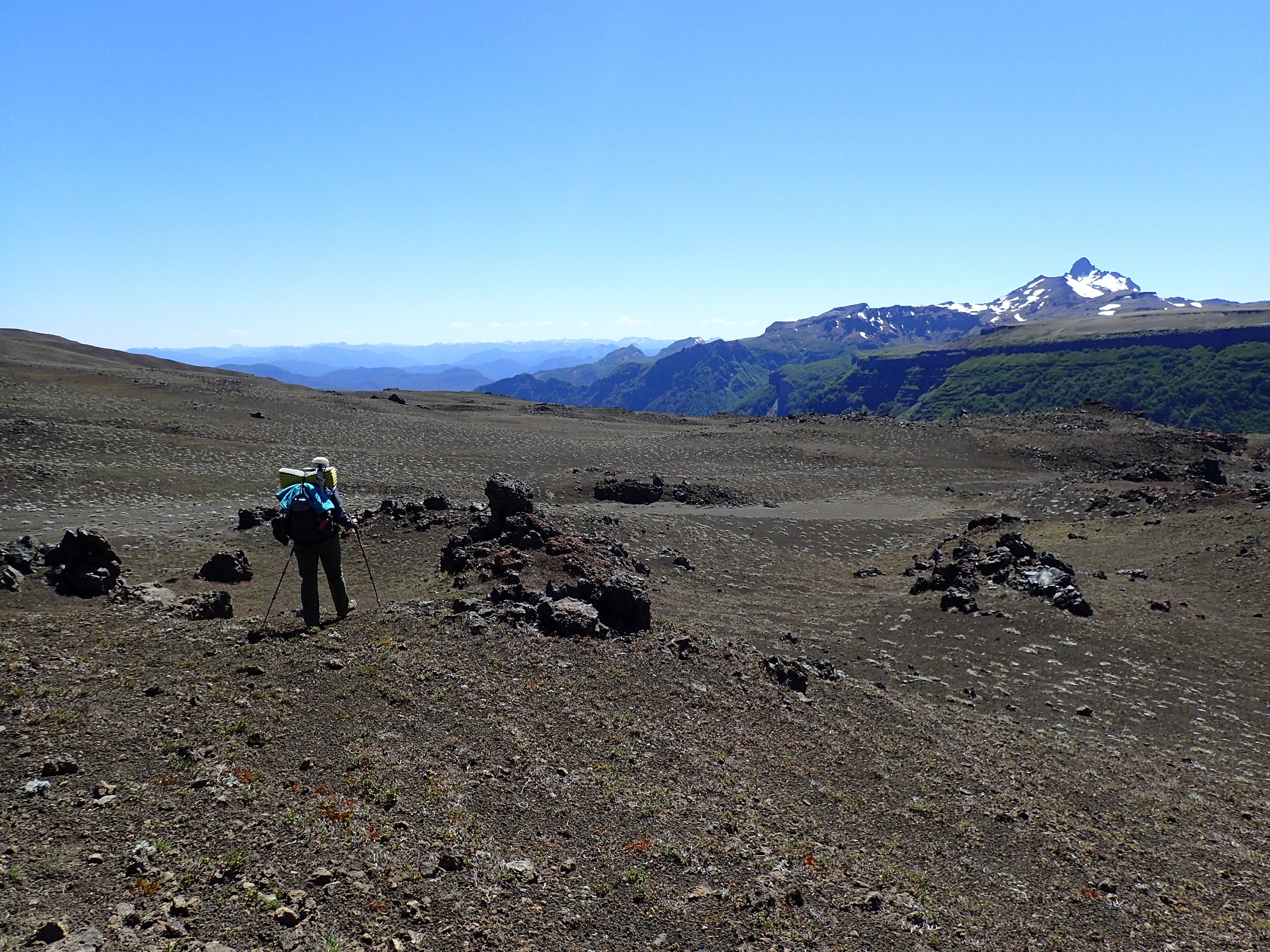
There are segments which are easy to follow and are mostly walking along backcountry gravel roads. These are more mentally challenging than physical because, well, why on earth are you walking something in the blazing sun or drenching rain that could be driven?Then you abruptly come to a point where you have to distinguish whether that empty Gatorade bottle lying on the side of the trail is trash you should pack out, or an indicator left by a campesino pointing to water. On the “local use” routes, trail markers range from nonexistent to colored bits of fabric tied to a bush or teteros, beer cans, or shards of pottery tucked into the branches of trees.
The towns and people are adjusting to international tourism but are still very much in process; most do not know the GPT exists. Everyone is dipping a toe into the growing tourism industry. A man will stand in front of you in roadwork uniform when he spots you crossing his land and inform you he is a fly fishing guide. He has a lure in his baseball cap, why not?
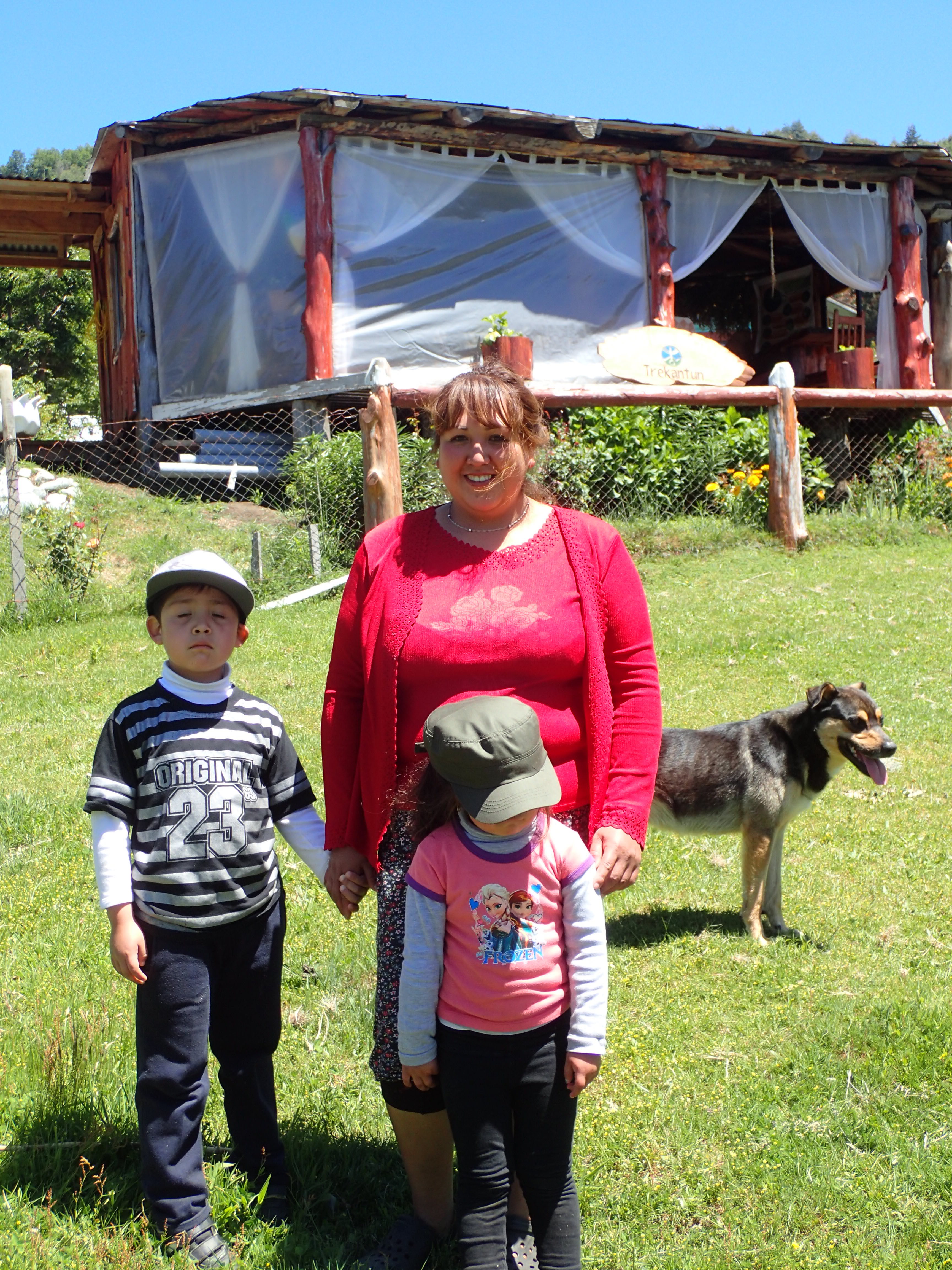
They are adjusting as they know how, by building things out of wood. Cabanas, quinchas, extra rooms on their houses. Most don’t have internet for their business and information you may find is often inaccurate, even (especially) for bus lines. So now they have a cabana to rent, or are happy to sell you some homemade jelly, bread, eggs, or cheese (best to get this from homes, the laminas in grocery stores taste like plastic). The best way you can encourage the local community to welcome and appreciate the hiker community crossing their land is to support their businesses. This also serves the purpose of emphasizing the benefits of preserving natural resources by showing them to be a money maker as they are, rather than to dam, deforest, or mine it.
In other areas, the south is still catching up for what is coming. Internet can be a bugger. Some municipal buildings and town squares have free public wifi “zona ChileGob”. Connect, open your browser and complete the verification process. Usually these have a half hour limit, which some phones can work around. This is spotty and slow at best; if it is during high use hours (siesta, after school, evening) or windy, good luck. If it happens to be rainy, fat chance. This connection is enough to get a message through or upload a camera FaceBook picture, not enough to upload many high-res images. Sometimes better internet comes from staying at lodging or eating at restaurants. Libraries are few and far between and often have very few open hours only a couple days a week.
You may see canisters of fuel in some of the more excursionista towns but certainly not all. Sometimes we struggle to find fuel at a percentage high enough for our alcohol stoves. I would recommend carrying either an alcohol stove or an MSR Whisper Lite with the fuel conversion option. You can find replacement hiking shoes in some towns as well but they will usually be of a lower quality or exorbitantly expensive. Size 11 shoes are few and far between. Larger than that and you’ll probably need to bring them with.
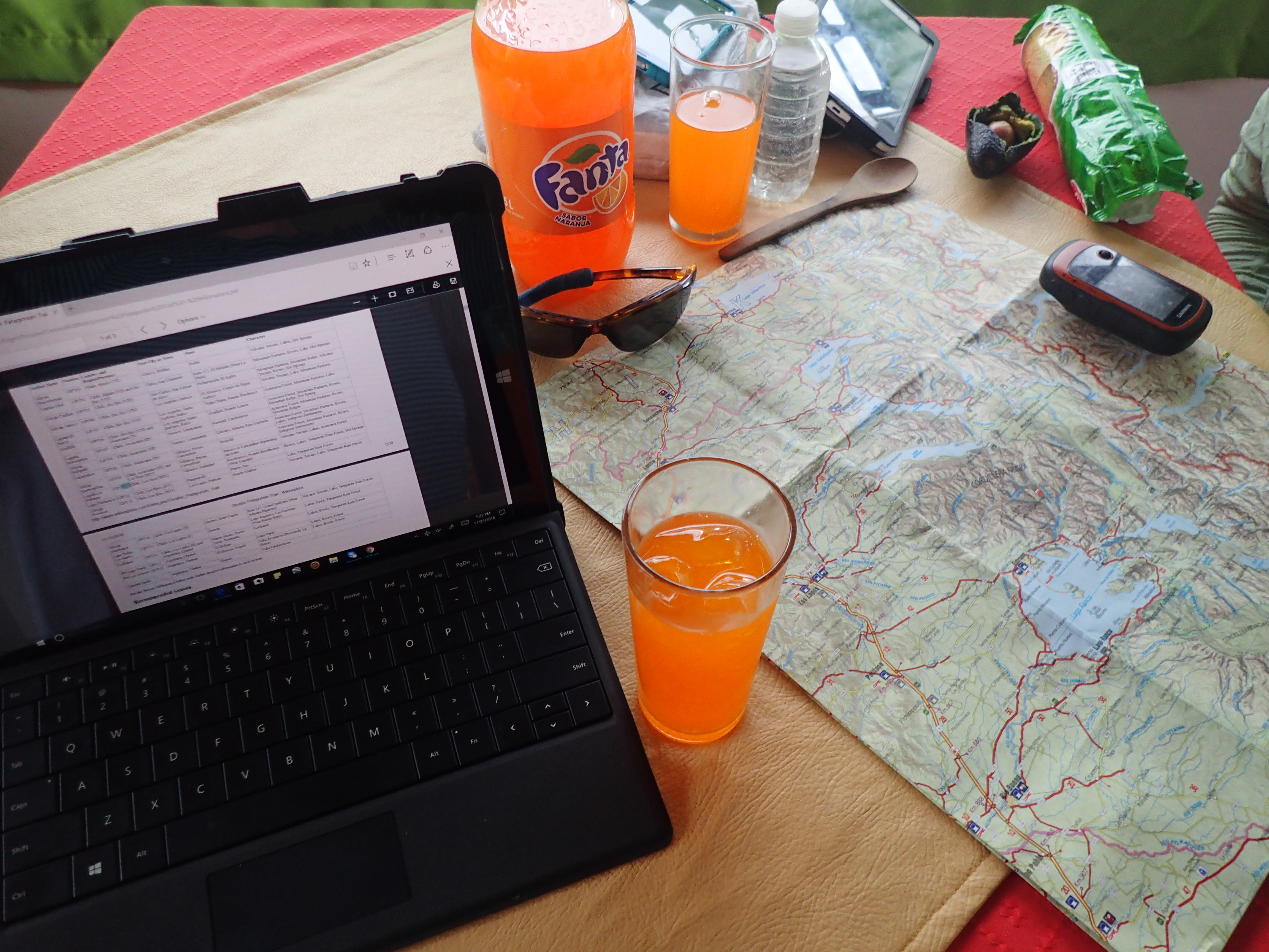
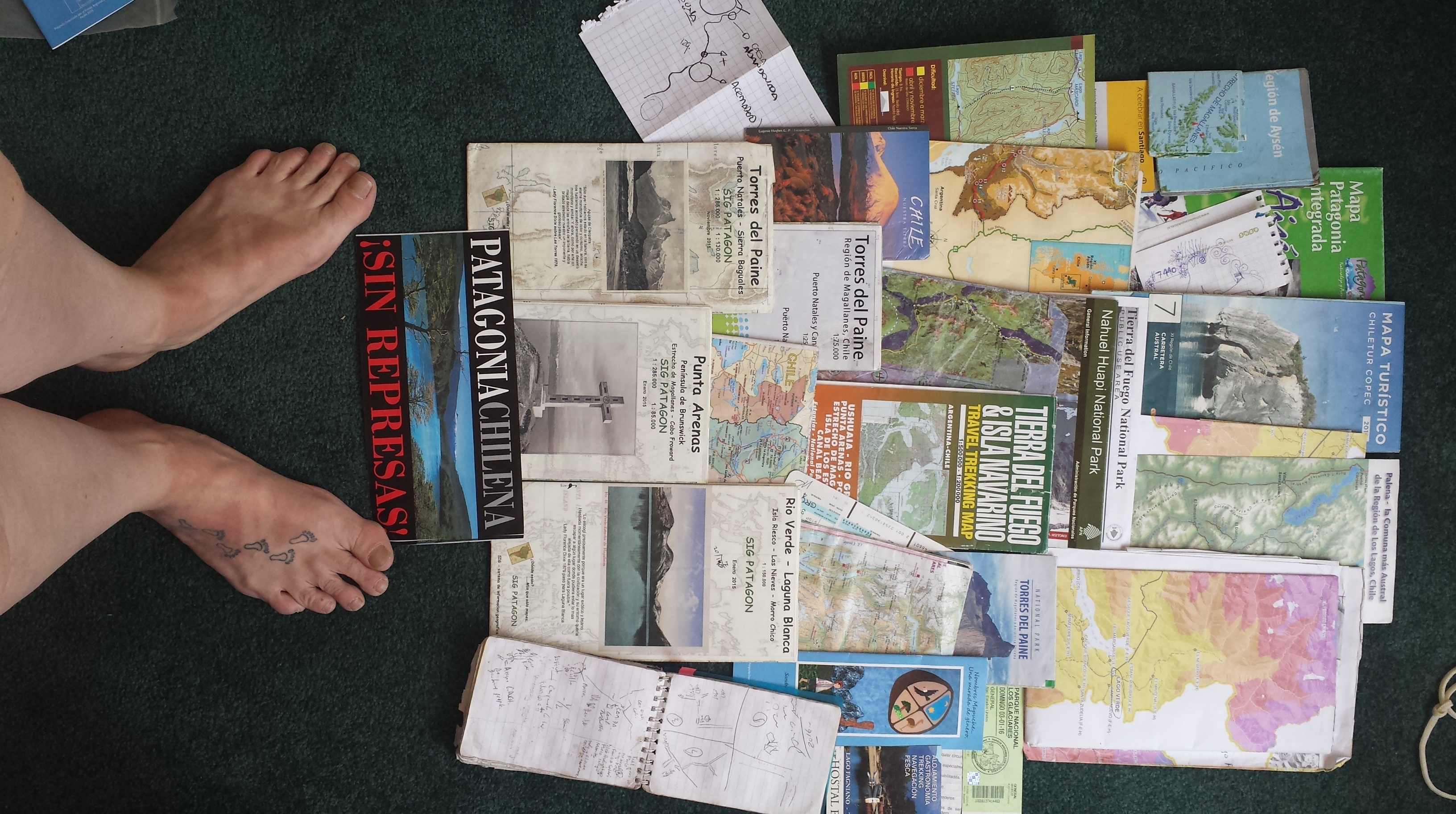
Maps are beginning to arise. A solid go-to for general towns and distances are the COPEC (national gas station) maps, though they can be tricky to find as they sell out quickly. Parks often have maps; one maker we have found who has done a lot of work down here is SIG Patagon maps. There are a number of options of map designers who will make maps to your specifications; this takes planning and finances. In this realm, one really good resource is Pixmap. Otherwise, you go without or piecemeal it together.
It seems many US thru-hikers have come to expect Trail Magic as part of the reward of long distance hiking. Down here, it is not trail magic, it is common courtesy to offer any and everything you have to passersby. As the guest, YOU are responsible to show courtesy and restraint. Avoid asking things directly or cornering people into yes/no answers, this is considered confrontational and rude. Bring a gift if you can, as I have been told, wine and fresh vegetables are always appreciated in the campo. Otherwise yerba mate, juice mixes, or tobacco.
Anything you consume, offer some to them as well. I know this goes directly counter to thru-hiker nature so let me repeat. If you eat anything, offer some to everyone you are engaged with. Always greet everyone in the room individually when you walk into a house. The usual greeting is a beso, cheek to cheek with a small kissing noise. Some have learned and are adapting to handshakes, particularly if you are male.
This is not a cheap endeavour, deffinitely not a budget trail. It will cost around $800 per person, per month. This ticket price does not include gear, travel to the country, or much beyond the basics. On top of that stow away at least $200 for exit strategy (this includes: bus fare, lodging, food). Schedules are not tightly kept in South America, so do not count on a bus to arrive in departure city on your intended departure date.
A final note, before you set to ruminating and vigorous Google searching, bring your own ziploc bags from home; the ones down here are flimsy.
Questions to ask yourself before heading to the GPT
Practical:
– Have you previously completed a self supported thru-hike?
– Can you carry at least a week worth of food on your back?
– Have you worked off-trail with the GPS you intend to use on this trail before?
– Are you adept at following routes only available on a GPS?
– What is your backup route finding/tracking plan?
– Are you prepared to backtrack on a regular basis?
– Do you have the finances to complete the trail and to deal with to emergencies?
– What are your time constraints? [On a tourist visa you have 90 days in Chile or Argentina. A single day border hop to another country starts the time over].
Culture:
– Do you speak Spanish?
– Are you observant of practices to respect traditions and cultural norms?
– How do you feel about trespassing?
– How do you handle altercations where you are in the wrong?
– Can you diffuse threatening confrontations?
– How do you handle stressful situations in a foreign language?
– Can you manage your expectations of scheduling in an environment which does not emphasize efficiency? [During unspecified hours in the middle of the day, usually between 12-5 most small town shops shut down for siesta]
– How are you at being attentive and able to read context clues?
– Do you have dietary restrictions? [being a vegetarian makes this region quite challenging though I have heard of it being done].
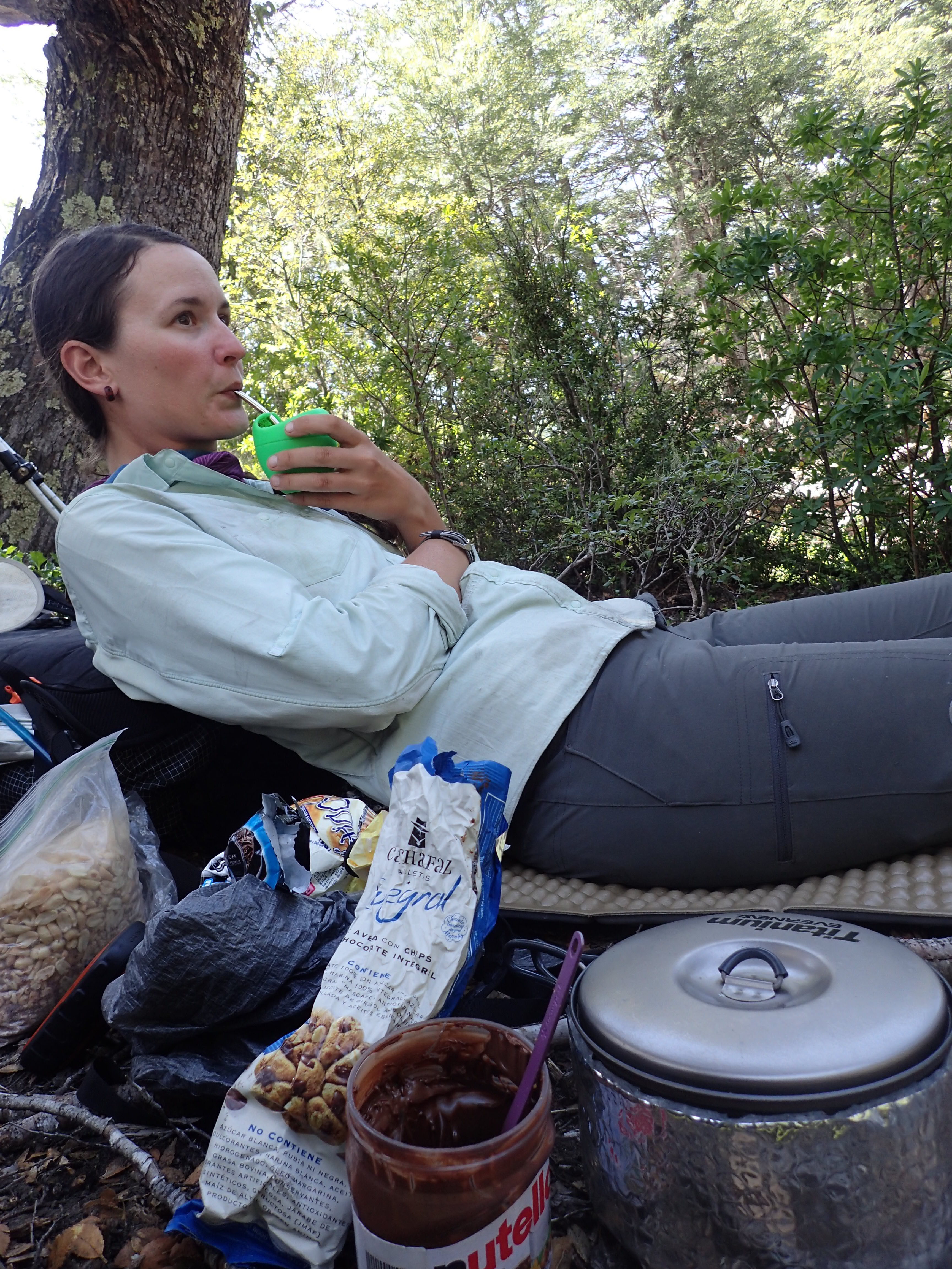
– Do you know how to drink mate? [Drain the cup, pass it back with the popote facing the server, say “gracias” only when you do not want any more].
Connectivity:
– Is your phone unlocked to work internationally? Can it accept a foreign SIM card? (we mainly use ours as WiFi machines)
– What is your plan for communication with family back home?
– Do you have a satellite tracker?
Safety:
– If traveling without a male, as a woman, how do you handle being cat-called and leered at?
-Do you have international travelers insurance which covers both extraction from the field and transportation back to home country?
– Are you prepared to respond to a medical emergency in the field?
– Do you take medications? If so do you have enough for intended stay +1 month. [Keep them in the prescription bottles as border guards may want to check this.]
– Are you up to date on all shots? [tetanus, yellow fever, etc]
– In case of international incident (volcanic eruption, violent protest, police encounters) do you have a point person at home who is prepared to contact the nearest embassy and provide them your information (Name, DOB, Passport #, current location) to get assistance to you?
Logistics:
– Is your passport valid for at least the next 6 months (some border guards/countries won’t let you in if within 6 mo of expiration)
– Do you have at least 2 open passport pages for entry/exit stamps? (Depending on if you plan to do the section which crosses into Argentina in the South).
– Have you registered your travel on STEP (for US citizens) or otherwise with your government?
Traduccion por Henry Tovar
Escrito por Fidgit
He estado recibiendo un montón de preguntas y declaraciones de intenciones sobre el senderismo del Gran Camino Patagónico. A cada respuesta, “la GPT no es un rastro”. Esto parece haber ofendido a algunos. Permítame explicarlo. No digo esto para mancillar, lo digo para:
1) aclarar que no tenemos necesariamente derecho a caminar por esta ruta y,
2) porque me encanta esta zona y estas personas y espero que se les acerque con humildad y respeto.
El Gran Patagónico ha estado en obras desde 2013 por Jan y su esposa, Meylin. Han puesto mucho cuidado en su desarrollo y lo comparten de buena fe. Es su esperanza que esta ruta se convierta en un proyecto comunitario, ya que el crecimiento en los pueblos y las ciudades y el paisaje cambiante son imposibles para que un equipo se mantenga al día. De esta manera, al bajar, encuentre maneras de devolver la energía al proyecto, a las personas ya las comunidades.
Línea de base: empaque la basura, DEJE LAS PUERTAS COMO USTED LOS ENCUENTRA, no tenga fuegos a menos que sea necesario. Lea la descripción de Jan del sendero tres veces, conozca las reglas de LNT de memoria, luego vuelva a este artículo y piense en cada una de las preguntas que aparecen al final.

En 2000, el gobierno chileno afirmó que harían el Sendero de Chile para el año 2010 para celebrar el cumpleaños del bicentenario del país. La fundación, con sede en Santiago, está más orientada a llevar a grupos a caminar. El “sendero” en sí se ha convertido en algo de una broma para nuestro grupo de expedición, ya que es irregular ya menudo veces circular alzas en parques nacionales. Estábamos en él 4 veces en nuestros primeros 3000 km (sobre todo al sur de la GPT), generalmente a lo largo de caminos que conducen a parques nacionales. Las llamas son rojas y blancas y generalmente marcadas para sur-bounders (SoBo). Está claro que un montón de dinero y esfuerzo entró en él por adelantado y poco se dejó para el mantenimiento. El único interés de los guardias de la CONAF es que permanezcan en los senderos ampliamente utilizados a través de sus parques y que no lo pillen en llamas.

En primer lugar, la GPT no es una pista porque no tenemos necesariamente derecho a estar en ella. Las secciones de la ruta pasan a través de tierras privadas. Algunos están habitados por propietarios o cuidadores, otros son abandonados la mayor parte del año excepto por animales de rebaño (generalmente ovejas o ganado). Estas personas tienen todo el derecho de prohibir que cruzar su propiedad. Por la cantidad de esfuerzo y apoyo que los grupos estadounidenses como el CDTC pasan por negociar las servidumbres de tierra para los senderos en los EE.UU., no parece probable que el gobierno chileno va a hacer mucho para cambiar esto en cualquier momento pronto.
Usted está sentado en su sala de estar, ocupándose de su propio negocio cuando de la nada hay un golpe en la puerta. Un extraño desaliñado se para allí y le pide que use su baño. Usted es una persona amable así que por supuesto usted los deja adentro. En los años próximos un par gente aparece cada ahora y otra vez, siempre golpeando, pidiendo, respetuoso, y agradecido.Luego, el flujo de personas aumenta, y algunos vecinos groseros comienzan a montar sus motos y quatris en y dejando pilas de basura. Luego, en el verano de 2016/2017 más de 20 personas (el número representado por los grupos que hemos estado en contacto con esta temporada con varios diseños) vienen desfilar a través de.La gente deja de llamar, deja de preguntar, algunos ni siquiera hablan tu idioma. Todavía otros parecen pensar que pueden pasar furtivamente. Usted pregunta qué piensan que está haciendo, y le informan que hay una guía sobre baños públicos y el suyo está en la lista.Las probabilidades son, usted va a hacer una de dos cosas, trabar su puerta y barricada las ventanas o comenzar a cargar.

Eso es exactamente lo que ha comenzado a suceder en la GPT. No tenemos los derechos a esta tierra, y pasando por muchos de los parques nacionales y conserva los vertederos que derecho a tierras privadas. Aquí debemos aplazar con cortesía a los terratenientes. Ser respetuoso es de suma importancia. No te pongas arrogante o agresivo, están en lo correcto, estás invadiendo. Lo mejor que podemos apuntar es ser intrusos amistosos. Dicho esto, técnicamente hay una ley en Chile que permite el derecho de paso dentro de los 150 m de agua, aunque esto no siempre se observa.
Una regla de cortesía campo es cada vez que se acercan a un acuerdo, silbar una melodía. Esto permite que los seres humanos y animales saben que usted está viniendo y evita sorprendente y un poco de desagrado. También es simplemente la cosa hecha, los vecinos reconocen los silbidos de cada uno y esto da una cabecera que usted es un extraño que no tiene intención sneaky o de otro modo nefasto. La responsabilidad de acercarse e introducciones recae en usted. Si usted está pasando al otro extremo del campo a veces sólo un asentimiento de la cabeza y la onda amistosa hará el truco.

En segundo lugar la GPT no es nada como cualquiera de los senderos de larga distancia en los EE.UU. De hecho, Neon, que ha subido los 3 senderos de larga distancia (AT, PCT, CDT), ha dicho que algunas secciones de la GPT (sobre todo los tramos del sur) son más difíciles incluso que el Continental Divide Trail. Es más una ruta de “elegir tu propia aventura”, como le gusta llamarla.
Muchos senderos largos tienen una cierta “sensación” para ellos. “Dice” lo que – después de algunos meses – un excursionista puede hacer un juicio justo sobre lo que hace a continuación y puede comenzar a registrar de manera consistente días de gran milla. Este no es el caso con la GPT. A veces camino, a veces camino de la vaca, a veces completamente overgrown. En ciertas secciones, está fuertemente marcado, pero esto es inconsistente. Algunas áreas, no hay rastro, está luchando a través de la navegación de bambú o de campo a través con la cobertura satelital irregular y la información inconsistente. La GPT consiste en proceder con cuidado y comprobar su GPS a menudo. No se trata de velocidad, sino de atención, tanto a la naturaleza cambiante de la ruta como a la gente.

Hay otros segmentos que son fáciles de seguir y están caminando sobre todo a lo largo de caminos de la grava del backcountry. Entonces llegas a un punto en el que tienes que distinguir si esa botella vacía de Gatorade que yace en el lado del camino es basura que debes empacar, o un indicador dejado por un campesino que apunta al agua. En las rutas de “uso local”, los marcadores de rastro van desde inexistentes a trozos de tela coloreados atados a un arbusto o teteros, latas de cerveza o trozos de cerámica escondidos en las ramas de los árboles.
Los pueblos y la gente se están adaptando al turismo internacional, pero todavía están en proceso; La mayoría no sabe que la GPT existe. Todo el mundo está inmerso en la creciente industria del turismo. Un hombre se parará delante de usted en uniforme del roadwork cuando él le mancha que cruza su tierra e informa que él es una guía de la pesca de la mosca. Él tiene un señuelo en su gorra de béisbol, ¿por qué no?

Se están ajustando como saben, construyendo cosas en madera. Cabanas, quinchas, habitaciones extras en sus casas. La mayoría no tiene Internet para su negocio y la información que encuentre en que a menudo son inexactos, incluso (especialmente) para las líneas de autobús. Así que ahora tienen una cabaña para alquilar, o están felices de vender algo de jalea casera, pan, huevos o queso (mejor para conseguir esto de los hogares, las láminas en tiendas de comestibles sabor como plástico). La mejor manera de animar a la comunidad local a dar la bienvenida y apreciar la comunidad de excursionistas que cruzan sus tierras es para apoyar sus negocios.
En otras áreas, el sur todavía está alcanzando lo que viene. Internet puede ser un maldito. Algunos edificios municipales y plazas de la ciudad tienen wifi público gratuito “zona ChileGob”. Conéctate, abre tu navegador y completa el proceso de verificación. Por lo general, estos tienen un límite de media hora, que algunos teléfonos pueden funcionar. Esto es irregular y lento en el mejor de los casos; Si es durante altas horas de uso (siesta, después de la escuela, tarde) o ventosa, buena suerte. Si sucede ser lluvioso, oportunidad gorda. Esta conexión es suficiente para obtener un mensaje a través o cargar una cámara FaceBook imagen, no es suficiente para cargar muchas imágenes de alta resolución. A veces mejor Internet viene de alojarse en el alojamiento o comer en los restaurantes. Las bibliotecas son pocas y distantes y a menudo tienen muy pocas horas abiertas sólo un par de días a la semana.
Usted puede ver latas de combustible en algunas de las ciudades más excursionista, pero ciertamente no todos. A veces nos esforzamos para encontrar combustible en un porcentaje lo suficientemente alto para nuestras estufas de alcohol. Yo recomendaría llevar una estufa de alcohol o un MSR Whisper Lite con la opción de conversión de combustible. Usted puede encontrar el reemplazo zapatos de senderismo en algunas ciudades, así, pero suelen ser de una calidad inferior o exorbitantemente caro. Tamaño 11 zapatos son pocos y lejos entre ellos. Más grande que eso y probablemente tendrá que traer con ellos.

Los mapas están empezando a surgir. Un sólido go-to para las ciudades en general y las distancias son los mapas COPEC (gas nacional), aunque pueden ser difíciles de encontrar, ya que se agotan rápidamente. Los parques suelen tener mapas; Un fabricante que hemos encontrado que ha hecho mucho trabajo aquí abajo es mapas de SIG Patagon. Hay una serie de opciones de los diseñadores de mapas que harán mapas a sus especificaciones; Esto requiere planificación y finanzas. En este reino, un recurso realmente bueno es Pixmap. De lo contrario, se va sin o poco a poco juntos.
Parece que muchos de los EE.UU. a través de excursionistas han llegado a esperar Trail Magic como parte de la recompensa de senderismo de larga distancia. Aquí abajo, no es magia de rastro, es cortesía común ofrecer cualquier y todo que usted tiene a los transeúntes. Como invitado, USTED es responsable de mostrar cortesía y moderación. Evite preguntar cosas directamente o acorralar a las personas en sí / no respuestas, esto se considera confrontacional y grosero. Traiga un regalo si puede, ya sea yerba, tabaco, vino. Cualquier cosa que usted consume, ofrezca algo a ellos también. Sé que esto va directamente contra la naturaleza de thru-hiker así que permítanme repetir. Si come algo, ofrezca algo a todos los que están comprometidos. Siempre saludar a todos en la habitación individualmente cuando entras en una casa.
Almacenar por lo menos $ 200 para la estrategia de la salida (esto incluye: tarifa del megabus, alojamiento, alimento). Los horarios no están bien guardados en América del Sur, así que no cuente con un autobús para llegar a la ciudad de salida en la fecha de salida prevista. Una nota final, antes de salir a caminar y la vigorosa búsqueda de Google, traer sus propias bolsas ziploc de su casa; Los que aquí abajo son frágiles.
Preguntas que debe hacerse antes de salir a la GPT
Práctico:
– ¿Ha completado previamente una caminata de autoservicio?
– ¿Puedes llevar por lo menos una semana de comida en la espalda?
– ¿Ha trabajado fuera de rastro con el GPS que va a utilizar en este camino antes?
– ¿Eres experto en las siguientes rutas sólo disponibles en un GPS?
– ¿Cuál es su ruta de reserva / plan de seguimiento?
– ¿Está preparado para retroceder de manera regular?
– ¿Cuáles son sus limitaciones de tiempo? [En una visa de turista tiene 90 días en Chile o Argentina. Un salto de la frontera de un solo día a otro país comienza el tiempo encima].
Cultura:
– ¿Hablas español?
– ¿Está usted atento a las prácticas para respetar las tradiciones y las normas culturales?
– ?Cómo te sientes con el traspaso?
– ¿Cómo manejas los altercados donde estás equivocado?
– ¿Puede difundir enfrentamientos amenazantes?
– ¿Cómo manejar situaciones estresantes en un idioma extranjero?
– ¿Puede gestionar sus expectativas de programación en un entorno que no hace hincapié en la eficiencia? [Durante horas no especificadas en el medio del día, por lo general entre 12-5 la mayoría de las tiendas de la pequeña ciudad cerrada para la siesta]
– ¿Cómo está usted en estar atento y capaz de leer pistas contextuales?
– ¿Tiene restricciones dietéticas? [Ser vegetariano hace que esta región sea un desafío, aunque he oído hablar de ello].
– ¿Sabes cómo beber mate? [Vaciar la taza, pasarla de vuelta con el popote frente al servidor, decir “gracias” solo cuando no quiera más].

Conectividad:
– ¿Está desbloqueado su teléfono para trabajar internacionalmente? ¿Puede aceptar una tarjeta SIM extranjera? (Utilizamos principalmente los nuestros como máquinas de WiFi)
– ¿Cuál es su plan para la comunicación con la familia de vuelta a casa?
– ¿Tienes un rastreador de satélite?
La seguridad:
– ¿Tiene seguro de viaje internacional que cubre tanto la extracción del campo y el transporte de vuelta al país de origen?
– ¿Está preparado para responder a una emergencia médica en el campo?
– ¿Toma medicamentos? Si es así tienes suficiente para la estancia prevista de 1 mes. [Guárdelos en las botellas de recetas, ya que los guardias fronterizos pueden querer comprobar esto.]
– ¿Estás al día en todos los disparos? [Tétanos, fiebre amarilla, etc.]
– En caso de un incidente internacional (erupción volcánica, protesta violenta, encuentros con la policía) ¿tiene una persona puntual en su casa que esté preparada para ponerse en contacto con la embajada más cercana y proporcionarle su información (nombre, DOB, pasaporte, ubicación actual) Ayuda para usted?
Logística:
– Su pasaporte es válido por lo menos durante los próximos 6 meses (algunos guardias de fronteras / países no le permitirán entrar si dentro de los 6 meses de vencimiento)
– ¿Tiene al menos 2 páginas de pasaporte abiertas para sellos de entrada / salida? (Dependiendo de si planeas hacer la sección que cruza en Argentina en el Sur).
– ¿Ha registrado su viaje en STEP (para ciudadanos estadounidenses) o de otra manera con su gobierno?




Comments (11)
I’m so glad that you’ve written this, so much good information and tips here!!!
I would also add that if you are a man passing through and you see an older camposino/gaucho/huaso working, and you stop to speak with them, it is typical to ask if they would like any help. You can offer as a woman as well, but I’m referring to men mainly because they’re more accustomed to receiving help from other men. Many of the folks who still live deep in the mountains are very capable older generations, and even though they are incredibly strong and tough, they can usually always use a little help, and appreciate it deeply. When we crossed into more remote regions of Patagonia, we both witnessed and participated in this tradition- seeing how the neighbors and gauchos always called on one another when they were in close vicinity, to share mate, conversation and a little muscle. We always offered our help as well, even if it meant our own journey may be delayed slightly.
A really really good point!
Thank you for sharing all these interseting points! Especially I liked your thoughts about crossing private land. Whenever I need to cross private land (or even if I’m not sure to be on private land) I have the feeling that I may bother someone although I surely don’t want to. I know that there are some people not even thinking about this. Thank you again for sharing these thoughts!
Hi Bethany and Lauren,
Thank you very much for the detailed explanation and clarification to the GPT.
Since the only long distance hike that we ever did is the GPT (with all its added challenges of its investigation) I might not have a good enough understanding what a hiker that did the one of the long US trails (AT, PCT or CDT) might expect or understand when I call it a trail.
Before deciding to publish “our” route I was long thinking if a publication does more harm or good but I came to the conclusion the positive aspects probably outweigh the negative but I’m not 100% sure and only time will show. A lot will depend on the behavior of the hikers who will take the route. With you permission I will add your comments in the next update and post a link to your blog.
Best regards from Cochrane, Jan
By the way: we printed you blog for Don Heraldo Rial, got the tobacco and spoke with Paola.
Jan,
You have done a wonderful and courageous thing to share your route with the world. We have already met 6 other hikers out enjoying it this easeon. I believe it will change southern Chile hiking community in a significant way. At least make shops carry more Snickers bars. 😉
We spend a lot of our walking time discussing weighing the pros and cons of making public routes like this and agree with you. I also very much agree, it is up to the hikers what kind of impression we leave. It is very exciting to be on the front end of that.
I would be honored for you to include any information we share in your update.
Enjoy the Ruta de Pioneers and give Don Rial all our love.
Un abrazo a ti y Meylin! On to section 4!
This is a comprehensive and sensitive description of the trail. thanks for all your work in getting it thoughtfully together.
Thanks Cliff!
Interesting stuff. Thanks! Any idea where I can find more info on which sections are bikeable?
Thanks!
I would email Jan directly with that inquiry. He has advised a couple biking teams on sections before and he can probably put you in touch with them.
Good call. Thanks!
I wish you happy planning and winding trails.