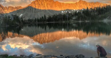
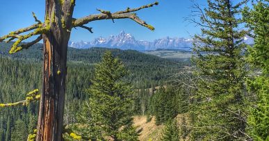
While the masses all head to Glacier just to the north, The Bob Marshall Wilderness, the third largest Wilderness area in the lower 48, holds the promise of adventure for non-motorized recreationists of all stripes, from packrafters, cavers, day hikers, equestrians, to we backpackers. In early July we pieced together what turned out to be a really fun backpacking loop which connected the Chinese Wall to the Trilobite Range. Here’s the deets.
Distance: 75-80 miles
Difficulty: Moderate (largely rated for remoteness. You need to know first aid, LNT Principles, wildlife safety, how to read weather, etc.)
Maps: You can pick up maps at Basecamp in Helena.
Getting There: Closest big city is Helena. Taken from the Helena-Lewis and Clark National Forest site:
From Choteau, take US Highway 89 north 4.4 miles turning west (left) on the Teton River Road 144, following it for 16.5 miles before turning south (left) to the South Fork Teton Road 109. Continue for 10 miles to Road 109-A. Turn left (south) into the South Fork Teton Forest Service Corrals, around which is limited parking.
We missed that “take a left to the South Fork Teton Road 109” bit and had to backtrack. There is a pit toilet and no trash receptacles at the trail head. There were about 10 vehicles there both on our way in and back out. Most seemed to be day hiking to Our Lake.
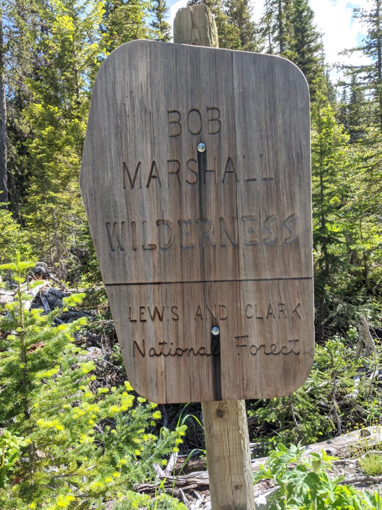
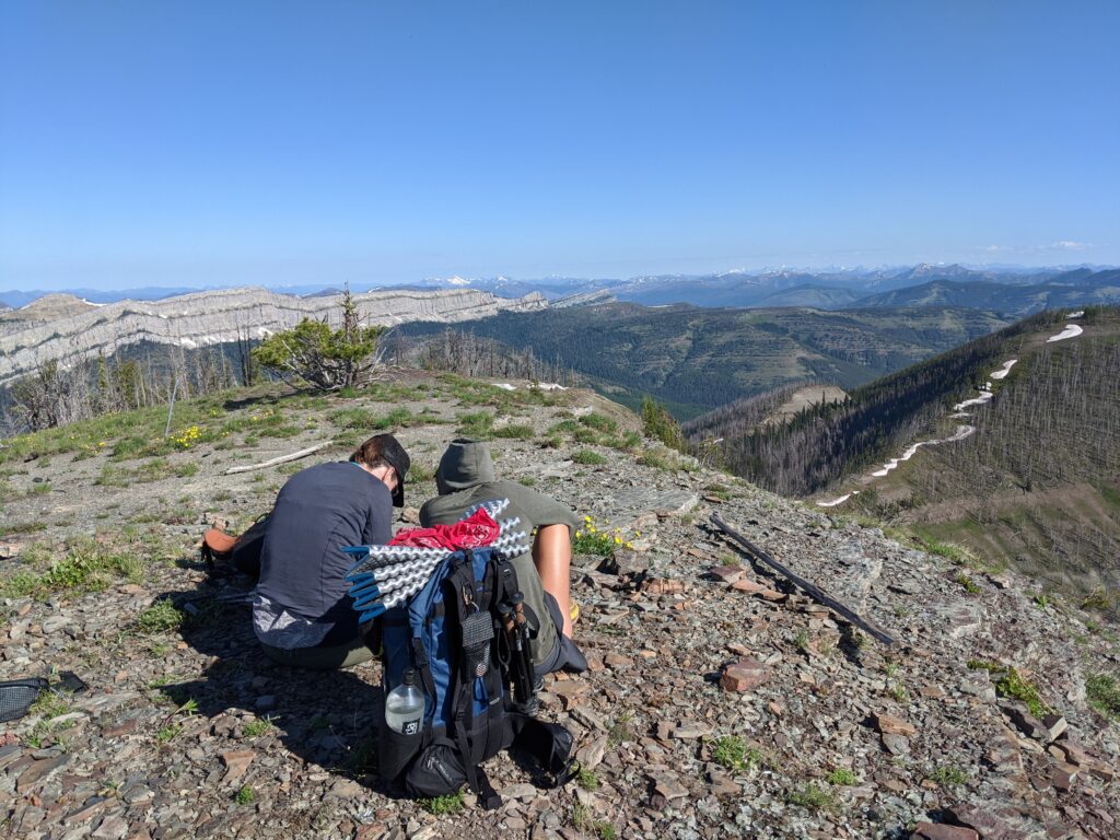
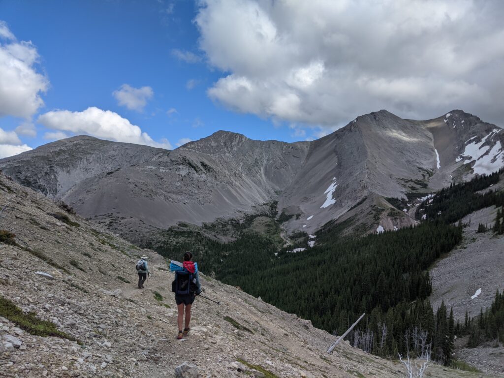
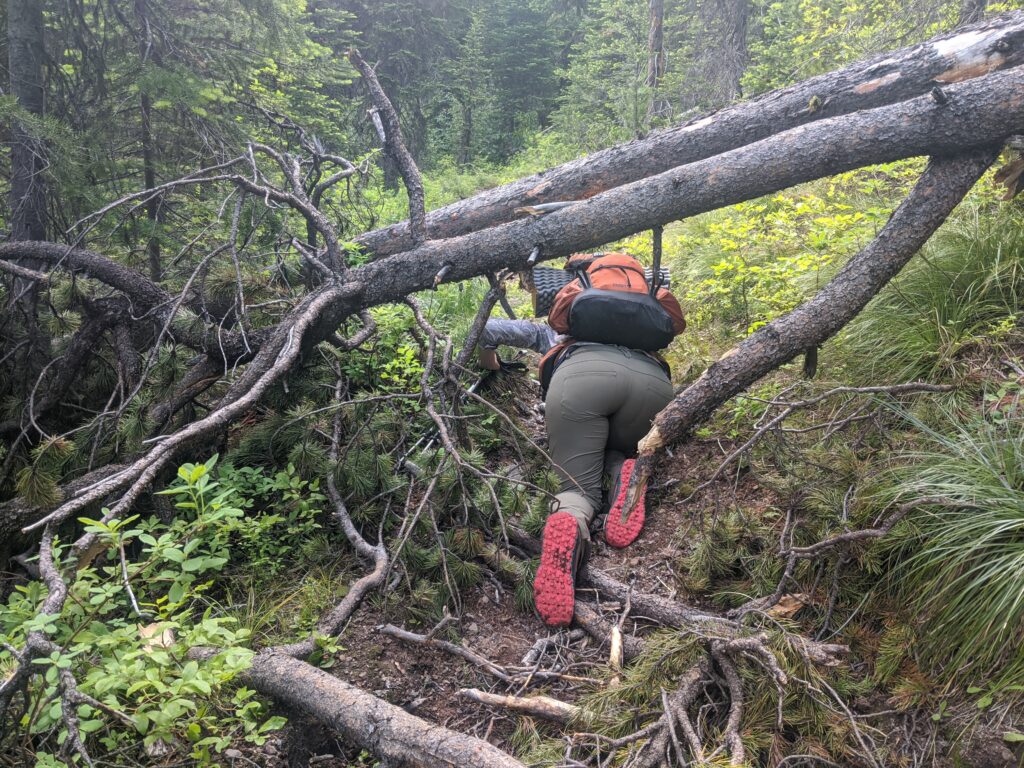
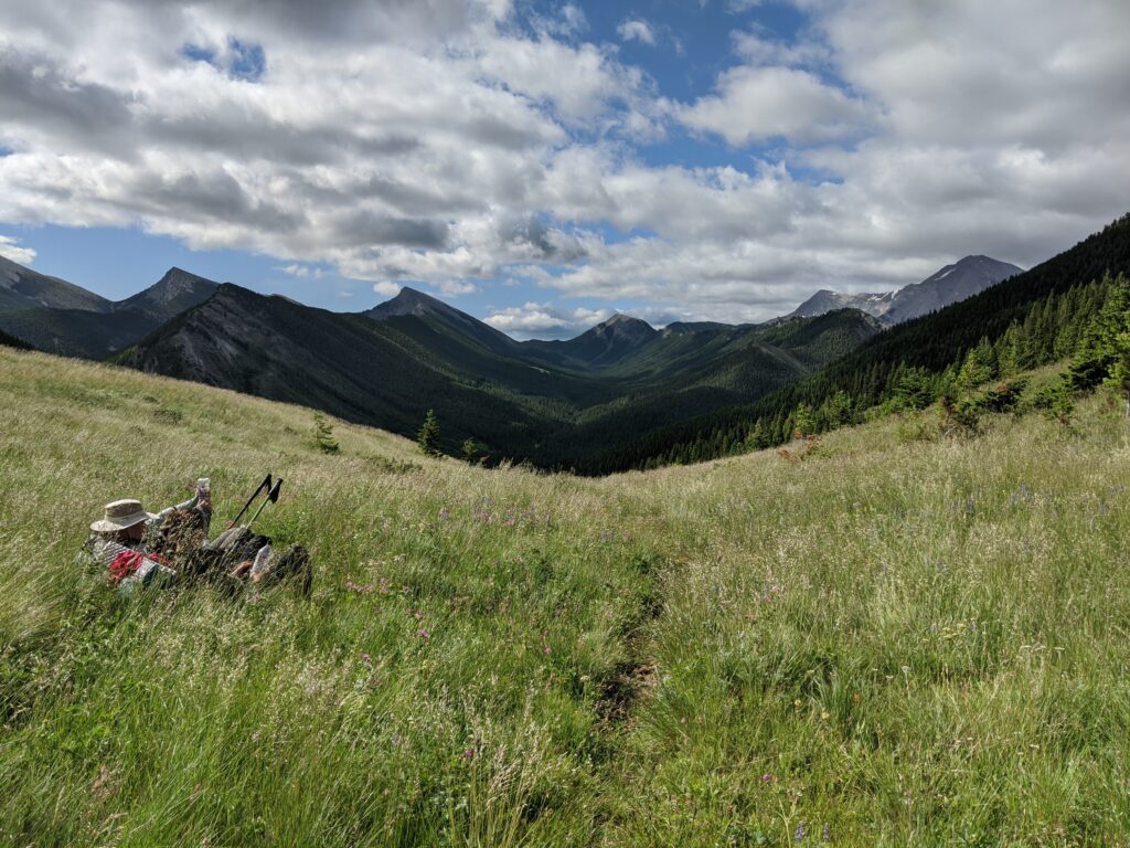
Overview: Well defined trail, some blow-down throughout the route, traverses a number of burn areas in varying stages of regrowth, a few sections close to washing out, 4 notable climbs/passes, intersects the Continental Divide Trail at several points. Skirts past the edge of the Chinese Wall, a tiny detour affords some spectacular views and, with more time, could allow a half day to explore that area further. Bungalow ridge walk allows views into Glacier on clear days and that section of the loop affords a good shot at solitude. We did this route in 5 days, covering distances ranging from 7-20 miles per day. For recreational users, I might recommend giving this 5-7 days.
The front-country sees more use, from the nearby conservation camp groups, and horse packing is common, which can make trails a mess. If hiking, be prepared to secede right of way to the horse packing groups.
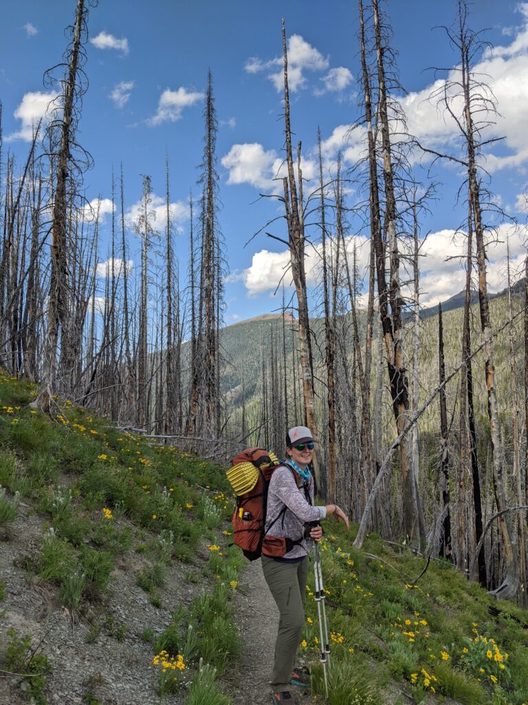
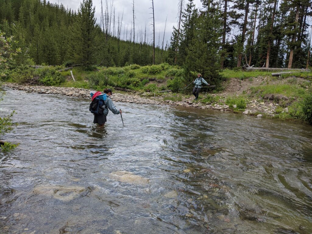
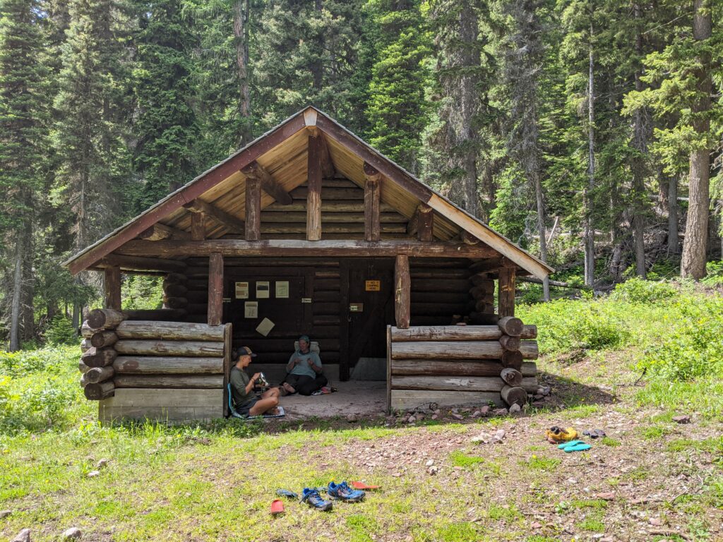
Hazards: Exposure, elevation, wildlife (bear spray), snow traverses into July. Water consistently available, and several stream and river crossing, a few which could be pretty high during high melt. Most junctions are well marked though at a few points trail signs were burnt down. Burn areas mean there is a lot of standing dead so just be aware of where you make camp and watch for widow makers. Route passes several back country cabins (not for use, all cabins mentioned have nice front porches in case you need to wait out weather but they are ranger cabins and not intended for camping in).
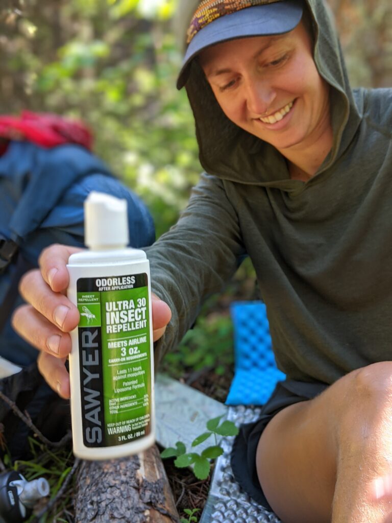
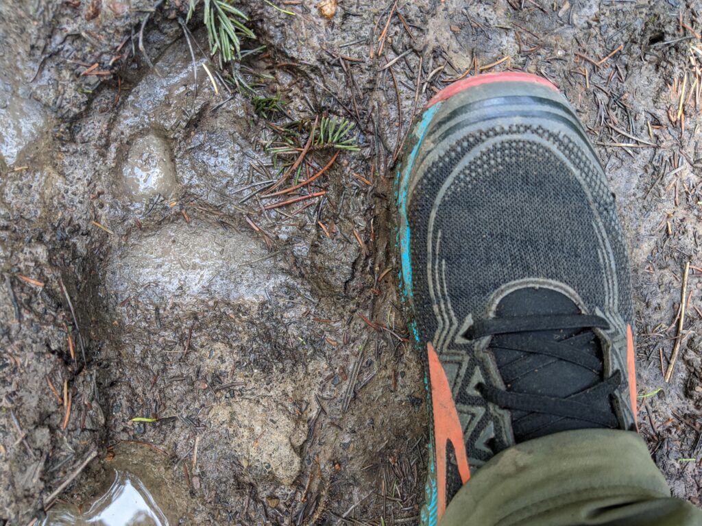
Wildlife: Bears, mountain lion, mountain goats, elk, deer, sand hill cranes, and mosquitoes.
Route Description: From South Fork Teton Trail head, follow Trail 165 up to Headquarters Creek Pass. Here we encountered the first bits of snow. After the initial descent into a pocket of living trees with a couple campable spots, the valley descends into a long burn area with only one other doable camping area along the creek before opening up into Gates Park Meadow, where there is a back country ranger station and cabin. The route skirts this area without ever directly approaching the cabin.
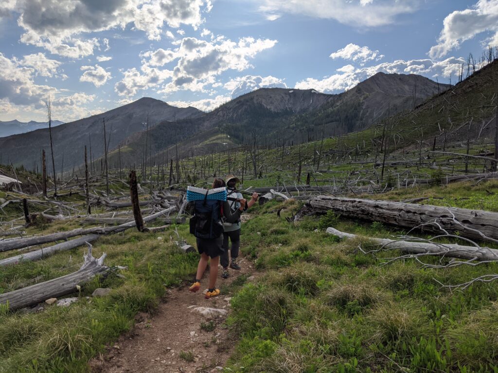
In the open meadow, watch for a junction onto trail 111 just above a bridged river crossing and a relatively heavily traveled trail toward Rock Creek Cabin. Here the route picks up the CDT to Spotted Bear Pass. At forested Spotted Bear Pass there is a junction and a climb toward My Lake. There is a well established campsite around My Lake with a variety of site, fire rings, and deer who frequent the area and may gnaw the handle off your trekking pole (or anything deliciously salty) given the chance. Less than a few miles past this site is the Chinese Wall.
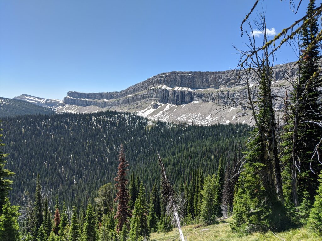
While the junction to trail 112 and Larch Hill Pass occurs just before the Wall, it is worth the deviation (>1 mile to stand at the base of this limestone escarpment which used to be a reef!) After Larch Hill Pass the trail descends along a burnt ridge, then drops into another river valley where there is a junction onto Trail 90 and then a lovely though burnt site at the bottom near clear flowing water.
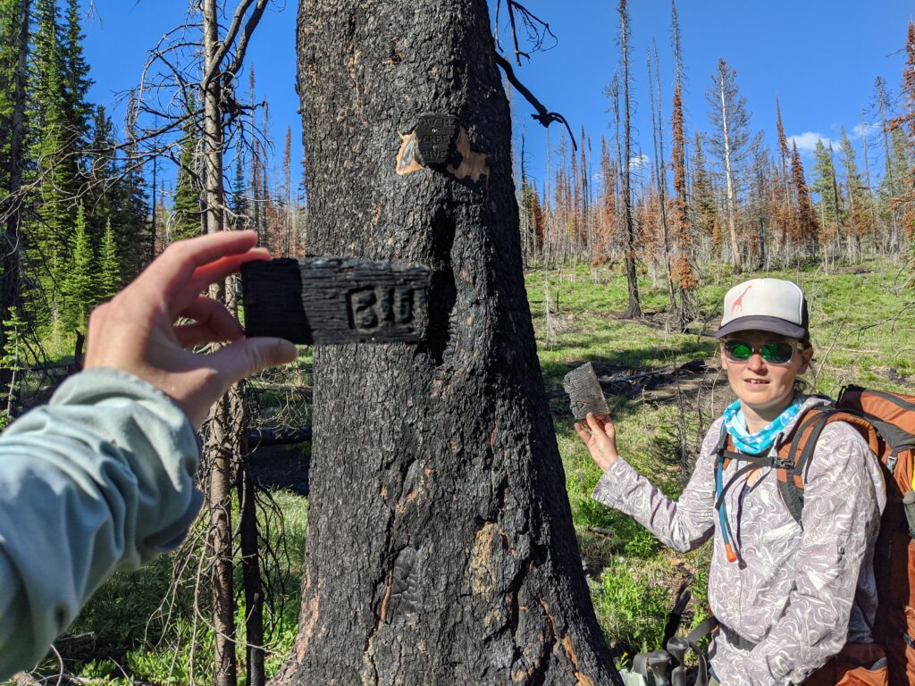
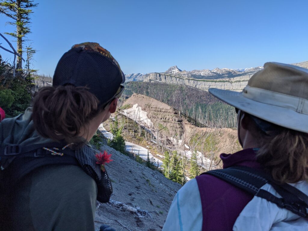
Trail 90 climbs gradually and at a low pass there is a junction with trail 243 (be careful, trail sign is burnt and junction can be easy to miss). Trail 243 ridge walk to Bungalow Mountain is more than worth the elevation gain and descent for the views of multiple escarpments throughout the Bob, and north up the range into Glacier, surrounded by notable peaks. Also some very interesting erosion activity to be observed near the trail itself.
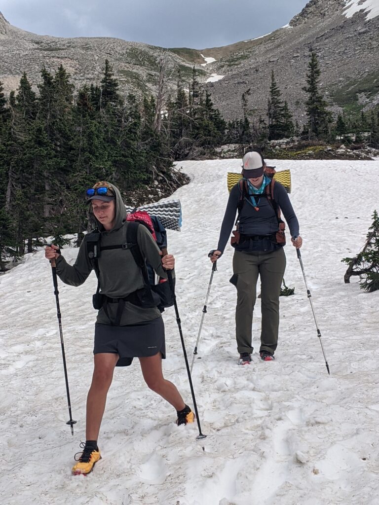
Follow trail 83 to Pentagon Cabin. From there follow trail 173 upstream to trail 177 where you will encounter the most formidable climb of the loop up to aptly names Switchback Pass. At Switchback Pass trail 732 is lightly used and marked by a cairn, turning to the SW, traversing Kevan Mountain to an unnamed pass. This area is alpine and scree and here we encountered more snow which required some careful stepping.
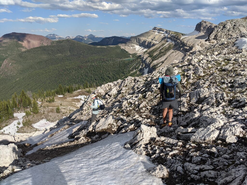
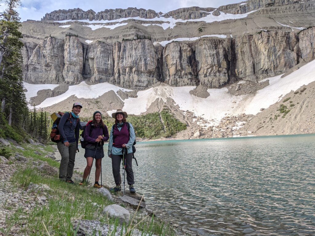
To a junction with trail 174/CDT, from which we detoured a wee bit to camp at glacier fed Lake Levale at the feet of a series of striking cliffs. It was gorgeous and while there were several established sites, we had the entire place to ourselves and that meant the mosquitoes had us entirely to themselves. Alpine glow on those stones at both dawn and dusk tho…
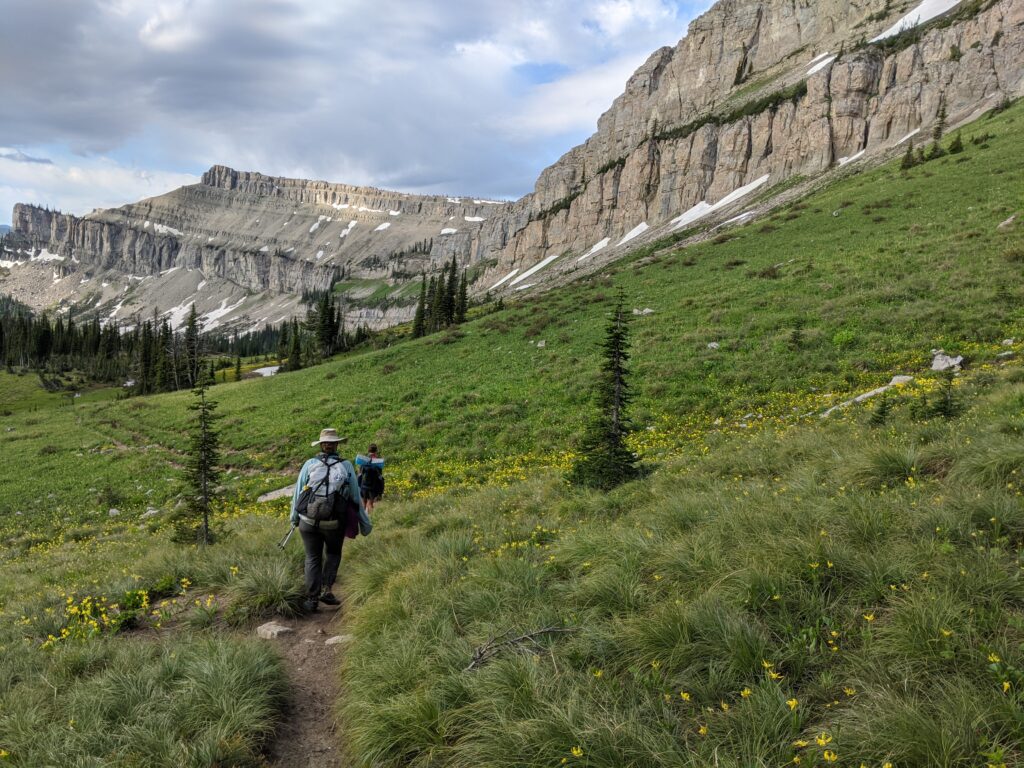
Trail flows along at the feet of the Dolomite Range to trail 151, Lick Crick which makes a forested descent (possible adventure alt at marked junction with unmaintained trail 132/Moonlight Peak) to trail 151 junction just before Wrong Creek Cabin. Go SouthEast on trail 108 over Route Creek Pass. Here you have returned to the land of horsepacking and when we were there the trails were muddy or underwater and churned up by all the hoof wear. Continue on to turn S on trail 154 with a final small climb and a descent which will drop you out at Green Gulch Trail Head, about 2 miles down the road from South Fork Teton trail head. Easy walk/hitch back to S Fork Crk TH.
Book Recommendations: A few books which spurred interesting conversation on our hike
The Line Becomes a River Francisco Cantu
Dharma Punx Noah Levine
Thirst: 2600 Miles to Home Heather Anderson
All photos credited to SciFi and Neon
For a full list of Partners see Here
